
Higgins Tunnel
Posted by:  Touchstone
N 39° 22.009 W 120° 55.313
10S E 679022 N 4359543
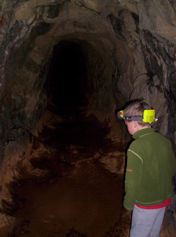
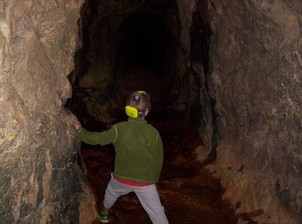
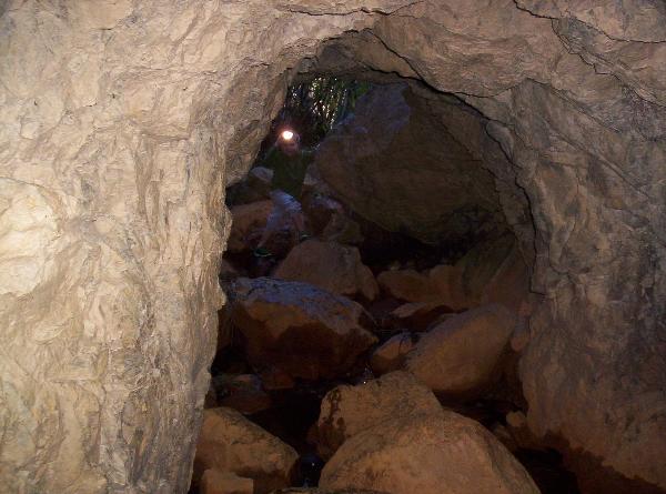
Located within the Malakoff-Diggins State Historic Park, the Higgins Tunnel is the shorter of the two main drain tunnels that emptied the hydraulic mine fields just over the hill.
Waymark Code: WMWR4
Location: California, United States
Date Posted: 10/29/2006
Views: 133
Started in April of 1872, and taking thirty months to complete, the main Bloomfield Drain Tunnel was nearly two miles in length and is considered one of the engineering marvels of its day.
While the longer drain tunnel is largely filled with debris and silt from the runoff of the mine fields, the shorter higgins tunnel (approx. 600 feet in length) is still open and offers a unique, albeit dark, approach to the mine fields on the other side of the hill.
Footing is slippery, so take your time and don't forget to take a flashlight or headlamp, because it gets really dark inside the tunnel.
Malakoff Diggins State Historic Park is the site of
California’s largest "hydraulic" mine. Visitors can see huge cliffs
carved by mighty streams of water, results of the gold mining technique of
washing away entire mountains to find the precious metal. Legal battles between
mine owners and downstream farmers ended this method. The park also contains a
7,847 foot bedrock tunnel that served as a drain. The visitor center has
exhibits on life in the old mining town of North Bloomfield.
Reference: Malakoff
Diggins SHP