Peak Forest Tramway Trail - Buxworth, UK
Posted by:  dtrebilc
N 53° 20.125 W 001° 57.959
30U E 568853 N 5910082
The Peak Forest Tramway opened in 1796 to carry limestone and gritstone from nearby quarries to the canal basin at the end of the Peak Forest Canal.
Waymark Code: WMKZ5V
Location: East Midlands, United Kingdom
Date Posted: 06/19/2014
Views: 2
The tramway used gravity to bring the trucks down from the quarries. Horses were then used to pull the empty wagons back up again. Near to the quarries there was a particularly steep section of track and at this point the wagons were connected to steel chains. The chains had a dual purpose, slowing the loaded wagons going downhill and pulling the empty wagons up the final section to the quarries.
The tramway opened before the invention of steam trains, but was so well suited to the steep gradients in the location it was only in 1925 that modern road traffic and trains caused a loss of business that forced the closure of both the tramway and the canal and they were allowed to become derelict. However in the 1960s and 1970s leisure boating became popular and many canals were renovated and re-opened for leisure purposes.
Most of the Peak Forest Canal reopened 1974 and at that time terminated at Whaley Bridge. The remainder of the canal and this basin was reopened in 1999. However a major leak from the canal needed further renovation and it didn’t fully re-open until 2003. This short section of the tramway has also been converted into a walking trail.
The basin is now protected as
Scheduled Ancient Monument number 242 under the Ancient Monuments and Archaeological Areas Act 1979.
It should be noted that the name of the nearby village changed its name from Bugsworth to Buxworth in 1930, but the basin continues to be called Bugsworth basin.
There is a pub at the side of the canal which has a car park outside for customers only. However the far side of the car park past the pub is available for general use.
Only the first 1.6 miles of the tramway have been converted to a trail and it is designated for use for walking, cycling and horse riding. It is also suitable for wheelchairs and pushchairs.
As well as the trail itself the canal basin is an interesting area to explore and many stone sleepers that the rails were attached to are still visible at the basin site.
The sleepers are unusual because they are square and are not laid across the track as is usual. This is because they provided a good surface for the horses to walk on as the walked between the rails.
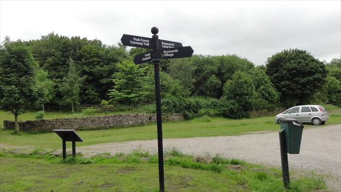
The trail sign.