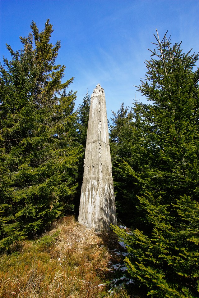
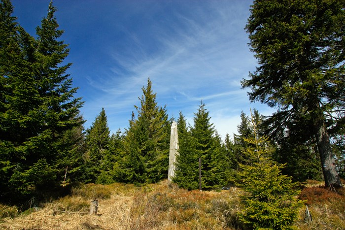
5 metres high, ferro-concrete obelisk stands on the summit plateau of Zlatý Stôl (transl. Golden Table), a highest mountain of Volovske mountains, eastern Slovakia.
Pillar was built here between years 1931-35 as first-grade part of new trigonometric network in newly former Czechoslovakia.
This pillar is one of 17 first-grade points in the country - obelisks of height 2.4 - 7.25 metres, that created triangular network with point-to-point distances between 25 to 40 kilometres.
There had been additional trigonometric points between these obelisks - up to 5th grade of the network.
Of course, today is technique of geographic coordinates measurement totally different, calculated by satelites (GPS, Glonass, Galileo), which makes obelisks like this one obsolete and forgotten.
Slovak description:
 Tento 5 metrovy zelezobetonovy obelisk stoji na vrchole Zlateho Stola (najvyssi bod Volovskych vrchov).
Pilier bol postaveny v rokoch 1931-35 ako jeden zo 17 v celom Ceskoslovensku, sucast trigonometrickej siete prveho radu.
Tento 5 metrovy zelezobetonovy obelisk stoji na vrchole Zlateho Stola (najvyssi bod Volovskych vrchov).
Pilier bol postaveny v rokoch 1931-35 ako jeden zo 17 v celom Ceskoslovensku, sucast trigonometrickej siete prveho radu.
V ramci nej boli vytycene zememeracske body postupne az do bodov piateho radu, vzdialenych 1-3 kilometre.
Nova trigonometricka siet dostala nazov Jednotna trigonometricka siet katastralna (JTSK) a mala zabezpecit vyhotovenie novych map,
merania katastra, rychly start investicnej vystavby, usporiadat hranice so susednymi statmi a cely rad dalsich uloh.
Pilier je dnes uz nevyuzivany, odsudeny na pozvolny rozpad. Suradnice a vysky dnes meriame jednoducho pomocou sieti satelitov (GPS, Glonass, Galileo).