
Yedang Reservoir Dam - Yesan, Korea
Posted by:  silverquill
N 36° 38.567 E 126° 48.542
52S E 304134 N 4057481
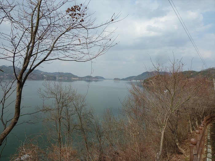
Dedicated in 1964, his dam forms the largest agricultural reservoir in Korea, the beautiful Yedang Lake.
Waymark Code: WMEBKZ
Location: Chungcheong nam do, South Korea
Date Posted: 05/03/2012
Views: 2
Actually this is a combination concrete and earth embankment dam in two distinct, but connected sections, 313 m (nearly .20 mile) long, and 13.3 m (43 1/2 ft) high.
The resulting lake is home to over 50 species of birds, many types of fish, and has a number of recreational facilities around the shoreline. In 2000 a study was made of the impact of development on the ecology of the lake and a new Ecology Center was built to educate the public. Nonetheless, development continues around the lake.
The coordinates for this waymark are at a viewpoint at the west end of the bridge on the north (downstream) side of the dam. The information sign is not located at the dam itself, but at another viewpoint overlooking the lake on the west side near the Yedang Sculpture Park.