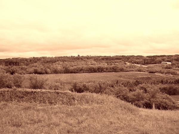
At this site can bee seen a series of 4 trenches dug out at the crest of the hill looking towards the site of the old Government House - that has burnt down in the last few years. The trenches were dug as fortifying positions against the Plains Indian Rebellion that occurred in 1885. At that time the settlers of the time would have been holed up in the fort (Fort Battleford) which can be seen about 500 metres or so to the North East of this position. Fort Battleford is located at the centre of the junction of the North Saskatchewan and the Battle rivers. This site offered access to fresh water, as it was many years before an on-site well was made available; it also offered an alterative means of tranportation to the Red River Cart. As the site was also on a plateau, the fort was easily defensible, and offered clear lines of sight for the surrounding area and to Government Ridge - thus providing warning against possible attacks.
The North West Mounted Police detachment of that day was The
Queens Rifles which was a column of 274 men lead by
Lt Col William D Otter which Marched up from Swift Current to the Battlefords as a relief regiment to quell the raids that were occurring at this time. The Natives in the area began breaking into houses on the farms, then in the towns of Battleford and South Battleford. They carted away supplies from the general stores, killed cattle and took horses. The Cree returned to their reserve, but the Stoneys and Metis continued to loot the towns. The Cree left Battleford before the column arrived. They made no attempt to pillage or burn the town. The soldiers began building earth works around Government House a large building on the south side of the Battle River. They christened this Fort Otter.A few days later, Otter's force marched west up the Battle River in pursuit of the Crees, but retreated to Battleford following the inconclusive Battle of Cutknife Hill on May 2nd of that year. Otter, Sir William Dillon, soldier (b at Clinton, Ont 3 Dec 1843; d at Toronto 6 May 1929). A veteran of the Battle of RIDGEWAY in 1866 and a part-time soldier, Otter joined the permanent force in 1883. He commanded the Battleford column in the North-West Campaign of 1885 and was the first commanding officer of the Royal Canadian Regiment of Infantry in 1893. In 1899 Otter was the obvious choice to lead the first Canadian contingent in the SOUTH AFRICAN WAR. His austere professionalism was unpopular with subordinates but contributed to Canadian prestige. In 1908 he was the first Canadian-born chief of the general staff and was inspector general of the Canadian Militia 1910-12, when he retired. He commanded INTERNMENT operations during WWI. Otter was knighted in 1913 and in 1922 became the second Canadian soldier, after Sir Arthur CURRIE, to reach the rank of general.
At the nearby Fort Battleford a more comprehensive history can be obtained of this era and events, including the reasons the Indian population were driven to performing raids and murders in this district. Basically it came down to failure of the Government of the day, to provide as agreed, the basic necessities of food & medicine required by the Indians thereby seeing them starving and sick - desperation drove them to the actions that later became part of the
North West Rebellion. The Plains Indians - CREE, BLACKFOOT, BLOOD, PEIGAN, Saulteaux - had been reduced to near starvation by the virtual disappearance of the buffalo which is why they had such a dependance on food aid in the first place.
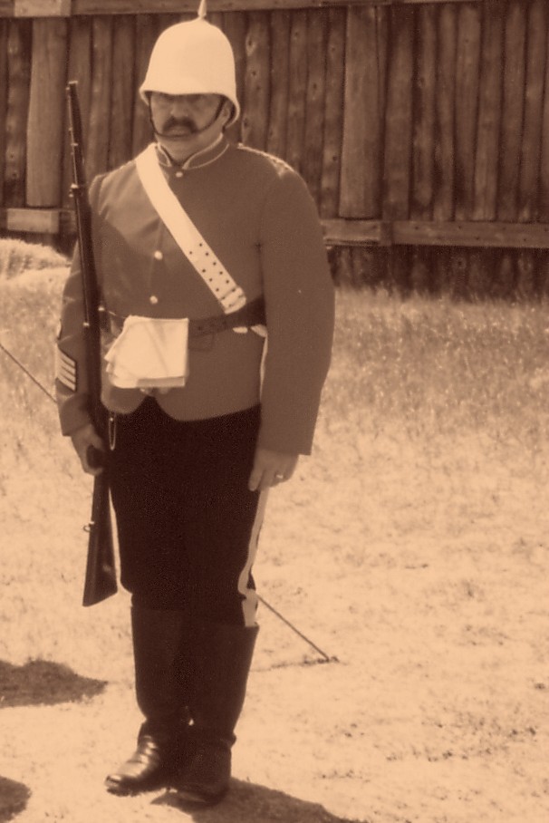
Sentry on duty at Fort Battleford.