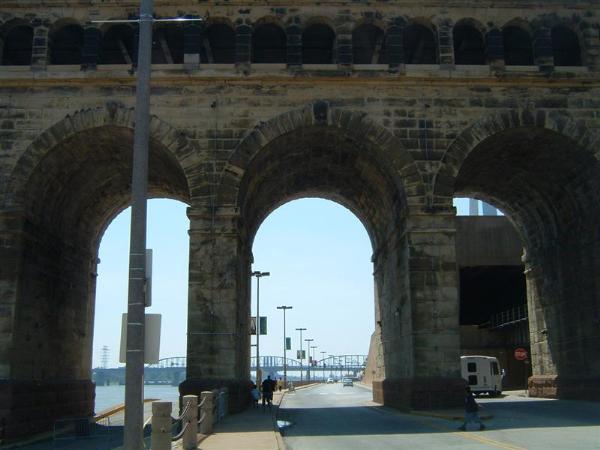
Eads Bridge - St. Louis, Missouri
Posted by:  BruceS
N 38° 37.760 W 090° 10.940
15S E 745276 N 4279411
Historic railroad and highway arch bridge spanning the Mississippi River at St. Louis.
Waymark Code: WM26J9
Location: Missouri, United States
Date Posted: 09/12/2007
Views: 118
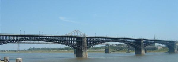
"The Eads Bridge is a combined road and railway bridge over the Mississippi
River at St. Louis, connecting St. Louis and East St. Louis, Illinois.
The bridge is named for its designer and builder, Captain James B. Eads. When
completed in 1874, the Eads Bridge was the longest bridge in the world, with an
overall length of 6,442 feet (1,964 m). The ribbed steel arch spans were
considered daring, as was the use of steel as a primary structural material. The
steel came from Andrew Carnegie on behalf of the Keystone Steel Company, the
first such use of steel in a major bridge project and the beginning of
Carnegie's extremely successful career in steel.
The Eads Bridge was also the first bridge to be built using cantilever
support methods exclusively, and one of the first to make use of pneumatic
caissons. The Eads Bridge caissons, still among the deepest ever sunk, were
responsible for one of the first major outbreaks of "caisson disease" (also
known as "the bends"), and thirteen workers died.
The Eads Bridge is still in use, and stands on the St. Louis riverfront
between Laclede's Landing on the north and the grounds of the Gateway Arch to
the south. Today the road deck has been restored, allowing vehicle and
pedestrian traffic to cross the river. The rail deck has been in use for the St.
Louis Metrolink light rail line since 1993." ~ from
Wikipedia Eads
Bridge