The
Big Sur River is a small river in Central California. The river drains a portion of the Big Sur area, a thinly-settled region of the Central California coast where the
Santa Lucia Mountains rise abruptly from the Pacific Ocean. The Big Sur River's headwaters are in the mountains, it flows roughly northwest and empties into the ocean, where there is a natural sandbar that has created a lagoon. Tributaries of the river include Pfeiffer-Redwood Creek, Juan Higuera Creek, Post Creek and Pheneger Creek.
Most of the river's 60 square mile watershed is in the Ventana Wilderness of the Los Padres National Forest. Precipitation increases with altitude at Big Sur and the higher elevations can receive over 50 inches per year, about 10 inches higher than lower areas. The average yearly runoff on the river is 65,000 acre-feet. There are some diversions on the river and its tributaries for drinking water to supply nearby homes and resorts, but no major dams or reservoirs, which makes it one of the very few rivers that is still in its pristine state.
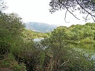 Coming from the Santa Lucia Mountains Coming from the Santa Lucia Mountains |
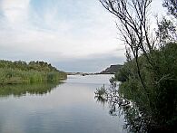 Reaching the ocean Reaching the ocean |
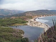 Sandbar and lagoon Sandbar and lagoon |
Click on the pictures to get larger images.
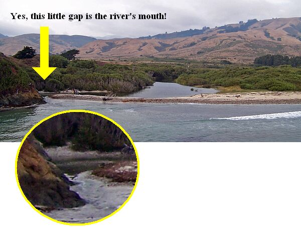
Click here for an overlook of the sandbar and here for a zoom of the river mouth.
 |
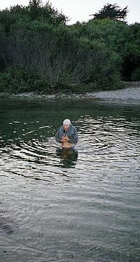 |
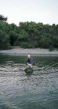
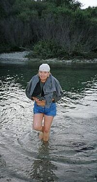
The river mouth is located in Andrew Molera State Park. We took a long hike through the park finding three geocaches along the way and ending up at the sandbar. According to the park map, there was supposed to be a bridge, but that bridge has been gone for a long time. So, we really go to know the river.
 |
Check out our Andrew Molera State Park website for a description of the entire hike.