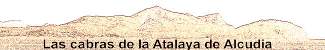
This tour will guide you to the highest point of the peninsula La Victoria - the Atalaya de Alcudia. Here you are having maybe the best view to the bay of Alcudia and Pollensa. And if you are in luck, you will see and hear some cabras (Spanish word for goats).
tour information :
requirements :
remarks :
-
it is not necessary to leave the trails. The path is more or less good visible. Stone pyramids or red marks (uphill) will guide you – see attached photos. It is an official trail, which is marked several maps.
-
but remember : you don’t have to go into any risk and you are responsible for yourself !
|
finding the parking place :
At waypoint VIA1 in Alcudia follow the sign to Es Mal Pas. VIA2 and VIA3 is your next destination. Don’t be afraid (danger photo). You are still on public ground.
Now the road is getting a little bit rough, but it’s still ok. Another photo shows you the START waypoint and a place, where you can leave your car.
Advise : don’t trust your Citynavigator Map anytime. There are other roads available, but not everyone is accessible.
your tasks :
If you are prepared, follow the path to Platja des Coll Baix to waypoint STAGE1. There is a picnic place, a big closed hut and a small refuge.
Want some water? What do you have to do?
push – A=3
pull – A=4
turn – A=5
B=number of parallel wooden bars, which support the roof of the refuge
Now continue the hike and start ascent to the summit and STAGE2. The trail is good visible. Reaching the top take a break, relax and make some nice photos. Than solve task 2 :
C=number of windows of the house without roof
D=number of doors of the house without roof
Now you have everything you need to find the cache, but don’t try to reach it directly from the summit or the fire guard!Go back to waypoint DOWN. This small trail is your way downwards to the cache and of course back to the car.
cachecoordinates : N39° 51.[A*B*C*D+808] E003° 10.[A*B*C*D+253]
Now continue downhill to waypoint PASS. Turn left, you cannot miss the way back to your car.
Enjoy it and have a nice time on Mallorca !