This cache has been
placed with the permission of the Wichita Mountains Wildlife Refuge. The
WMWR has a "Leave No Trace" policy and all visitors
should honor this policy. This includes staying on defined
trails as best as possible, avoiding direct contact with any
wildlife, and when done - departing with everything you
brought and nothing you found along the way. As long as we all
respect this policy we can all continue to enjoy all the
beauty the Wichita Mountains have to offer.
To obtain credit for this cache you must take a picture of
yourself standing in front of (or behind; or just be creative ;)
the Natural Bridge at the posted coordinates.
A natural bridge is formed by erosion of rock through various
forces. This includes water (both frozen and running) and wind.
Bridges are also more easily formed in soluble (can be dissolved by
water) rocks such as sandstone, limestone, and basalt. The natural
bridge found at these coordinates likely started as a small
overhang of rock. The bridge itself was initially formed by running
water off the top of Elk Mountain. As water poured through a ravine
in the overhang, it continued dissolved the granite and created an
opening to the ground below. Additional running water and steady
winds blowing through the opening furthered the expansion of the
gap until the bridge you see today was formed. I'm not sure how
long it took this bridge to form, but I would speculate it took
several hundred years or more.
The bridge is approximately 15 meters long and 2 meters tall at
the apex. The bridge is less than a meter wide.
Additional Geological information about the WMWR is available on
the refuge website.
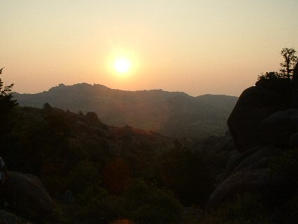
From the top of the trail (there are some close virtual caches
up here) you will proceed towards the posted coordinates along the
top of the mountain. If your elevation changes drastically, you
have taken an incorrect route (there are lots of draws in this area
so it might be helpful to use a topo map to find the correct path to the
cache). If all else fails, just remember to keep to the "right"
on your way to the cache. It is probably another half of a
kilometer from the top of the trail to the cache.
Be sure to take a camera, water, sunscreen, and perhaps a book
to read at the top (there is some nice shade under the bridge).
Good luck and I hope you have fun!