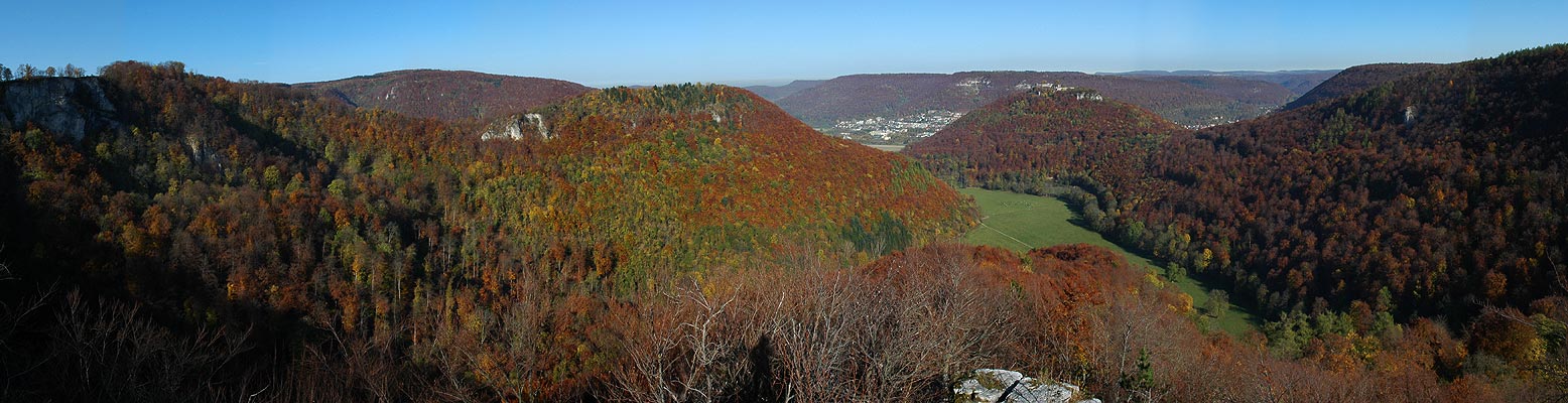
Bilder über die
Umgebung findest Du hier / Pictures from the area can be found
here
Schöne Wanderung
mit Grillmöglichkeiten. Bring Deinen Photo mit! Nicht geeignet
für
Kinderwägen oder Mountainbikes, es sei denn du trägst die
Fahrzeuge zwischendurch.
Dieser Multi-Cache
besteht aus vier einzelnen Caches, die in der Umgebung von Bad
Urach
verteilt sind. Um den eigentlichen Cache (Final Cache D) zu
finden, muß man drei Ebenen
(Level A bis Level C) überwinden. Cache A ist ein
Flat-Paper-Cache. Cache B und C sind
Micro-Caches (siehe Foto). Cache D ist eine 2,25 l Tupperdose
(siehe Foto).
Parkplatz: N 48°
29,708' E 09° 22,331'
Vom Parkplatz bis
zum Cache A sind es ca. 1,0 km Luftlinie.
Die Koordinaten
von Cache A sind: N 48° 29,401' E 09°21,920'
Rundtour: 11,5
km
Höhenmeter: 530 m
Achtung! Es gibt
manchmal viele Leute am Endpunkt.
Scenic hike and
grill spots. Bring your camera along! This tour is not recommended
for
people with baby strollers or MTBs, unless of course you are ready
to carry them for parts of the tour.
This multi-cache
consists of four caches, hidden near Bad Urach. To find the final
cache (Cache D) you
must find caches A to C first. Cache A is a Flat-Paper-Cache.
Cache B and C are Micro-Caches (see photo).
Cache D is a 2.25 l Tupperware container (see photo).
Parking lot: N 48°
29.708' E 09° 22.331'
It is around 1.0
km, as the crow flies, from the parking lot to Cache A
Coordinates for
Cache A: N 48° 29.401' E 09°21.920'
Round trip: 11.5
km
Change in altitude: 530 m
Achtung! At the
final Cache there are many people out and about.
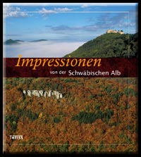
| Eigenwerbung: Es gibt auch einen tollen Bildband im
Theiss-Verlag über die Gegend: "Impressionen von der
Schwäbischen Alb".Komplettvorschau für den Bildband
hier |
 |