Skip to content

Climatequest - Bear lake Multi-cache

Hidden : 2/2/2022
Difficulty:
2 out of 5
Terrain:
2 out of 5

Size: Size:   regular (regular)

Join now to view geocache location details. It's free!

Watch

How Geocaching Works

Please note Use of geocaching.com services is subject to the terms and conditions in our disclaimer.

Geocache Description:


Acest geocache face parte din jocul ClimateQuest care te va călăuzi în jurul unor locuri interesante din România și îți va arăta efectele schimbărilor climatice, precum și efectele intervenției umane asupra acelor habitate.


STAȚIA 1
Jocul începe aici: N 46° 36.1663' E 25° 5.1936'

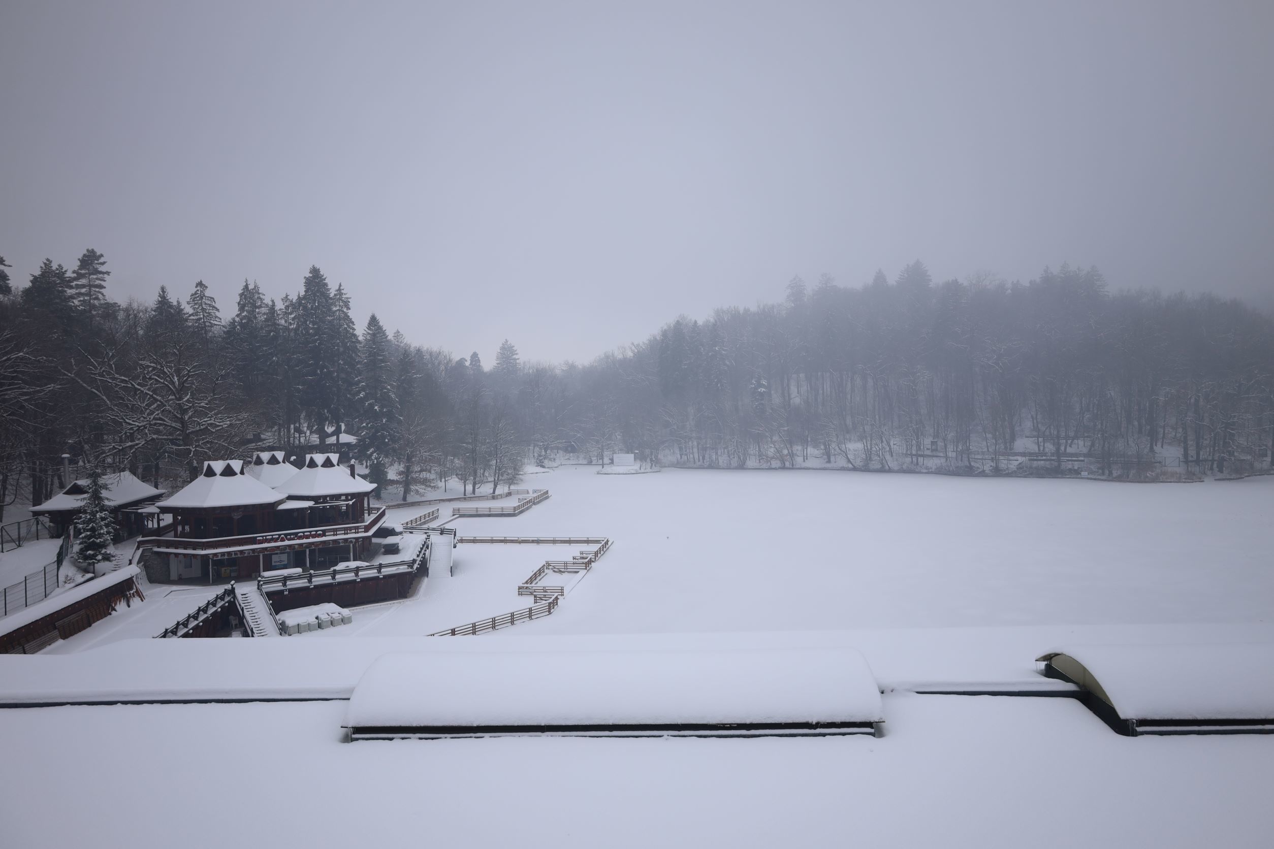
Lacul Ursu este cel mai mare și unicul lac helioterm din Europa. Cel mai interesant lucru este faptul că, se cunoaște exact data formării acestui lac. În 1875, aici a existat o fâneață pe care curgeau două pârâiașe, care dispăreau într-o gaură săpată în muntele de sare. În urma unei ploi torenţiale, apele au antrenat fânul şi resturile vegetale de pe păşune şi au obturat gaura din muntele de sare, iar în acest fel s-a ajuns la un lac cu o adâncime de aproximativ 18 metri.

Efectul helioterm ia naștere datorită faptului că, apa dulce a pâraielor ajunse în lac rămâne la suprafața apei, nu se amestecă cu apa sărată. Stratul de apă dulce de la suprafață creează un efect de seră și împiedică răcirea apei sărate de dedesubt. În acest fel căldura soarelui încălzește în continuu apa sărată.

În trecut, temperatura lacului a atins și 70 de grade Celsius, dar în prezent activitatea umană perturbă în continuu caracteristica lacului, adică efectul heliotermic. Prin scăldat se amestecă apa dulce de suprafață și apa sărată din adâncime, reducând efectul său caracteristic principal.

Lacul Ursu este situat într-o zonă protejată Natura 2000. Cu rezolvarea acestui geoquest  poți explora lacurile, formațiunile naturale și fauna sălbatică din zonă. Numerele „a“, „b“, „cd“, „e“, „f“  le poți găsi la următoarele puncte GPS, dacă răspunzi la întrebările puse. Numărul „cd” este un număr din două cifre, celelalte fiind o singură cifră. Literele sunt în ordine pe traseu. Cu ajutorul lor, puteți să vă plimbați în jurul lacului Ursul și să faceți cunoștință cu Lacul Aluniș, Lacul Mierlei, Lacul Șarpelui și cu muntele de sare.


STAȚIA 2 - Litera „a“
Stația următoare e aici: N 46° 36.2467' E 25° 4.9783'

Întrebarea:
Din câte litere se compune numele românesc al lacului din care curge apa care alimentează Lacul Aluniș?
Răspunsul este litera „a“.


STAȚIA 3 - Litera „b“
Urmărește poteca până ce ajungi la acest punct: N 46° 36.3133' E 25° 4.8233'

Întrebarea:
Câte direcții ne arată indicatorul de pe acest stâlp?
Înlocuiește litera „b“, cu răspunsul în coordonate.


STAȚIA 4 - Litera „cd“
Continuă drumul către acest loc: N 46° 36.36' E 25° 4.9235'

Întrebarea:

Câți arbori sunt în total în cele 3 orificii ale platformei?
Răspunsul este numărul care înlocuiește litera „cd“.  Numărul „cd” este un număr din două cifre.

STAȚIA 5 - Litera „e“

Continuă drumul până la acest loc și oprește-te la panoul de informație:  N 46° 36.3783' E 25° 5.045'.

Întrebarea:

Cu câte milioane de ani în urmă era perioada geologică Neogen? Răspunsul pentru litera „e“ este prima cifra a numărului.


STAȚIA 6 - Letter „f“
Continuă drumul spre acest loc: N 46° 36.3675' E 25° 5.153'

Întrebarea:
Căutând acest geocach, câte lacuri sărate ai vizitat până acum? Înlocuiește răspunsul corect cu litera „f“ în coordonate. Harta te va ajută să găsești răspunsul.

Ca să găsești 
geocache-ul ascuns înlocuiește literele a, b, cd, e și f cu numerele potrivite și rezolvă următoarele coordinate:

N 46° 36.a9e1' E 25° f.cd0b'


Ez a geoláda a ClimateQuest  játék része. A játék elvezet téged Románia különböző vizes élőhelyeire és bemutatja az ott érezhető klímaváltozás és emberi beavatkozás okozta hatásokat.


1. ÁLLOMÁS
A játék itt kezdődik: N 46° 36.1663' E 25° 5.1936'

A Medve-tó a világ legnagyobb és egyben Európa egyetlen heliotermikus tava. Érdekessége, hogy pontosan ismerjük keletkezésének dátumát. A tó helyén egykoron egy kaszáló volt, ahol 1875-ben az esőzések következtében beszakadt a föld a sókarszton. A hatalmas üreget az ott átfolyó patakok töltötték fel.

A heliotermikus hatás úgy jön létre, hogy a környék édesvízű patakjaiból befolyó édesvíz a nagyobb koncentrációjú sós víz felszínén marad, nem keveredik azzal. Ez a felszíni vízréteg üvegházhatást hoz létre és megakadályozza az alatta lévő sós víz kihűlését, ezért az összegyűjti a hőt, állandó jelleggel tud melegedni.

Eleinte a tó hőmérséklete elérte akár a 70 C fokot is, viszont az ember jelenléte folyamatosan csökkenti a helitoermikus hatást. A fürdőzők állandóan összekeverik a felszíni édes és a mélyebben lévő sós vizet, csökkentve ezzel legfőbb jellegzetességét.

A Medve-tó Natura 2000-es védett területen fekszik. A pontokat bejárva, megismerkedhetsz a körülötte kialakult tavakkal, természeti képződményekkel és a környék élővilágával. Az „a“, „b“, „cd“, „e“, „f“ számokat a következő GPS pontoknál tudod megtalálni, a kérdésekre válaszolva. A cd szám egy kétszámjegyű szám, a többi egy számjegyű. A betűk a tanösvényen sorrendben vannak, ezeket követve végigsétálhattok a Medve-tó körül és megismerkedhettek a Mogyorósi tóval, a Rigó tóval, a már szinte teljesen feltöltődött Kígyó tóval és a sóheggyel.


2. ÁLLOMÁS - „a“ betű
A következő megállót itt találod: N 46° 36.2467' E 25° 4.9783'

Kérdés:
Hány betűből áll annak a tónak a román neve amelyikből ered az ide ömlő forrásnak kinéző befolyó?
A helyes válasszal az „a“ betűt helyettesítsd a koordinátában.


3. ÁLLOMÁS - „b“ betű
Kövesd a sétányt a következő koordináta pontig: N 46° 36.3133' E 25° 4.8233'

Kérdés:
Hány felé mutat az irányjelző tábla?
A helyes megfejtés „b“ betűt rejti.


4. ÁLLOMÁS - „cd“ betűk
Folytasd az utadat a következő pontig: N 46° 36.36' E 25° 4.9235'

Kérdés:

 A placcon lévő 3 lyukban összesen hány fa van?
A válasz a „cd“ számot helyettesíti.  A „cd” szám egy kétszámjegyű szám.


5. ÁLLOMÁS - „e“ betű
Folytasd utadat a következő pontig, és állj meg az információs táblánál:  N 46° 36.3783' E 25° 5.045'.

Kérdés:

Hány millió éve volt a neogén kor? Az „e“ betű megfejtése a szám első számjegye.


6. ÁLLOMÁS - „f“ betű
Folytasd az utat a következő pontig: N 46° 36.3675' E 25° 5.153'

Kérdés:

Hány sós tavat járták be eddig a geoláda megtalálásához? Helyettesítsd az „f“ betűt a helyes válasszal a végleges koordinátában. A térkép segít megválaszolni a kérdést.

Ahhoz, hogy megtaláld a geoládát az „a“, „b“, „cd“, „e“, „f“ betűket helyettesítsd a megfelelő számokkal az alábbi koordinátában:

N 46° 36.a9e1' E 25° f.cd0b'


This cache is part of the ClimateQuest game that will take you around interesting wetlands in Romania and show you their importance in relation to the climate crisis, as well as those anthropogenic factors which endanger these habitats.


STAGE 1
Your quest starts here: N 46° 36.1663' E 25° 5.1936'


The Bear Lake is the world's largest and Europe's only heliothermal lake. The fascinating part is, that we know the exact date of its birth. In 1875, rains had broken the ground on the salt karst, and the huge cavity was filled by the streams flowing once through the meadow.

The heliothermal effect is due to the fact that the freshwater from the streams stays on the surface of the concentrated salt water, not mixing with it. This freshwater layer creates a greenhouse effect and prevents the salt water beneath from cooling down, instead constantly accumulating the warmth of the sun. In the past, the temperature of the lake reached as high as 70 degrees Celsius, but in the present, human activity continuously reduces the heliothermic effect. Bathers are constantly mixing the freshwater on the surface and the salt water beneath, reducing its main characteristic effect.

The Bear Lake is located in a Natura 2000 protected area. Solving this quest you can explore the complementary lakes, natural formations and wildlife within the area. You can find the numbers „a“, „b“, „cd“, „e“, „f“ at the following GPS points by answering the questions. The “cd” number is a two-digit number, the others are one-digit only. The letters are in order on the trail. Following them, you can walk around Bear Lake and get to know Lake Aluniș, Lake Mierlă, the almost disappeared Snake Lake and the salt mountain.


STAGE 2 - Letter „a“
Your next stop is here: N 46° 36.2467' E 25° 4.9783'

Question:
How many letters does the lake’s Romanian name consists of, from which this spring looking water is coming?
The  answer hides the letter „a“.


STAGE 3 - letter „b“
Follow the path until you reach this point: N 46° 36.3133' E 25° 4.8233'

Question:
How many signs does the pole have?
Write this number in the coordinates instead of the letter „b“.


STAGE 4 - Letter „cd“
Continue to this place: N 46° 36.36' E 25° 4.9235'

Question:
How many trees are in total in the 3 holes of the plaque?
The answer is your number for the letter „cd“.  The „cd“ number is a two-digit number.

STAGE 5 - Letter „e“
Continue to this place and stop at the info board N 46° 36.3783' E 25° 5.045'

Question:
How many millions of years ago was the Neogene Age? The answer for the letter „e“ is the first digit of the number.


STAGE 6 - Letter „f“
Continue to this place: N 46° 36.3675' E 25° 5.153'

Question:
How many salted lakes have you visited until now, by doing this geocach trail? Write this number in the coordinates instead of the letter „f“. The map will help you find the answer.


Swap the numbers a, b, cd, e and f for the numbers from your answers to reveal the coordinates of the hidden cache.


N 46° 36.a9e1' E 25° f.cd0b'


Additional Hints (Decrypt)

Jbbqra arfg obk uggc://jjj.trbpurpxre.pbz/vaqrk.cuc?pbqr=5812p88non563s9q4o5nqpo98r13r926&npgvba=purpx&jc=4743394r323043&anzr=436p696q6174657175657374202q2042656172206p616o65

Decryption Key

A|B|C|D|E|F|G|H|I|J|K|L|M
-------------------------
N|O|P|Q|R|S|T|U|V|W|X|Y|Z

(letter above equals below, and vice versa)