Français :
Les falaises de la Louvaresse du plateau de l’Isle Crémieu se distinguent de loin, véritable barrière au-dessus de la plaine du Rhône. C’est sur le plateau de Larina, dominant Hières-sur-Amby, que nous trouvons les traces d'une occupation humaine dès le Néolithique, vers 3 000 avant notre ère, à l'âge du Bronze.
Les dépôts cultuels retrouvés prouvent le caractère sacré que les occupants vouaient à l'endroit. L’oppidum, situé sur un emplacement stratégique au débouché du Val d’Amby, une des rares voies de pénétration du massif, fut fortifié au Bronze Final. Le peuple celte des Allobroges vint s'y installer au IIIème siècle avant notre ère. L'habitat se développa, avec la construction d'un grand rempart en pierre. Une nécropole de tombes sous lauzes s’implanta sur les vestiges du cimetière précédent.
Les Romains prirent possession du site au IIème siècle, et l'on retrouve alors les traces d'un temple dédié à Mercure, dont les pierres servirent aux constructions postérieures. C'est à cette époque que l’exploitation de la carrière de lauzes prit de l’ampleur.
A la fin de l’Empire Romain, les Burgondes prirent possession du lieu. La plupart des tombes de la nécropole de la Motte datent de cette période.
Au VIème siècle, période mérovingienne, un domaine fortifié s’organisa autour d’une villa seigneuriale, avec ses bâtiments d’exploitations agricoles construits en pierre avec une toiture de lauzes. Une nouvelle nécropole se développa sur la plus haute colline autour d’un mausolée et d’une église en pierre.
C’est au début du VIIIème siècle, avec l’arrivée des Carolingiens que le plateau fut abandonné. Bien plus tard, la légende raconte qu’une bergère gardant son troupeau sur le plateau tomba de la falaise et fut sauvée par la vierge Marie. C’est la raison pour laquelle une statue fut érigée en son honneur.
Bâtiments d’exploitations, habitats, chapelle et nécropoles font l’objet d’un parcours d’interprétation, résultat de quinze années de fouilles.
Pour valider votre découverte, merci de joindre à votre log « Found it » une photo respectant les deux conditions suivantes :
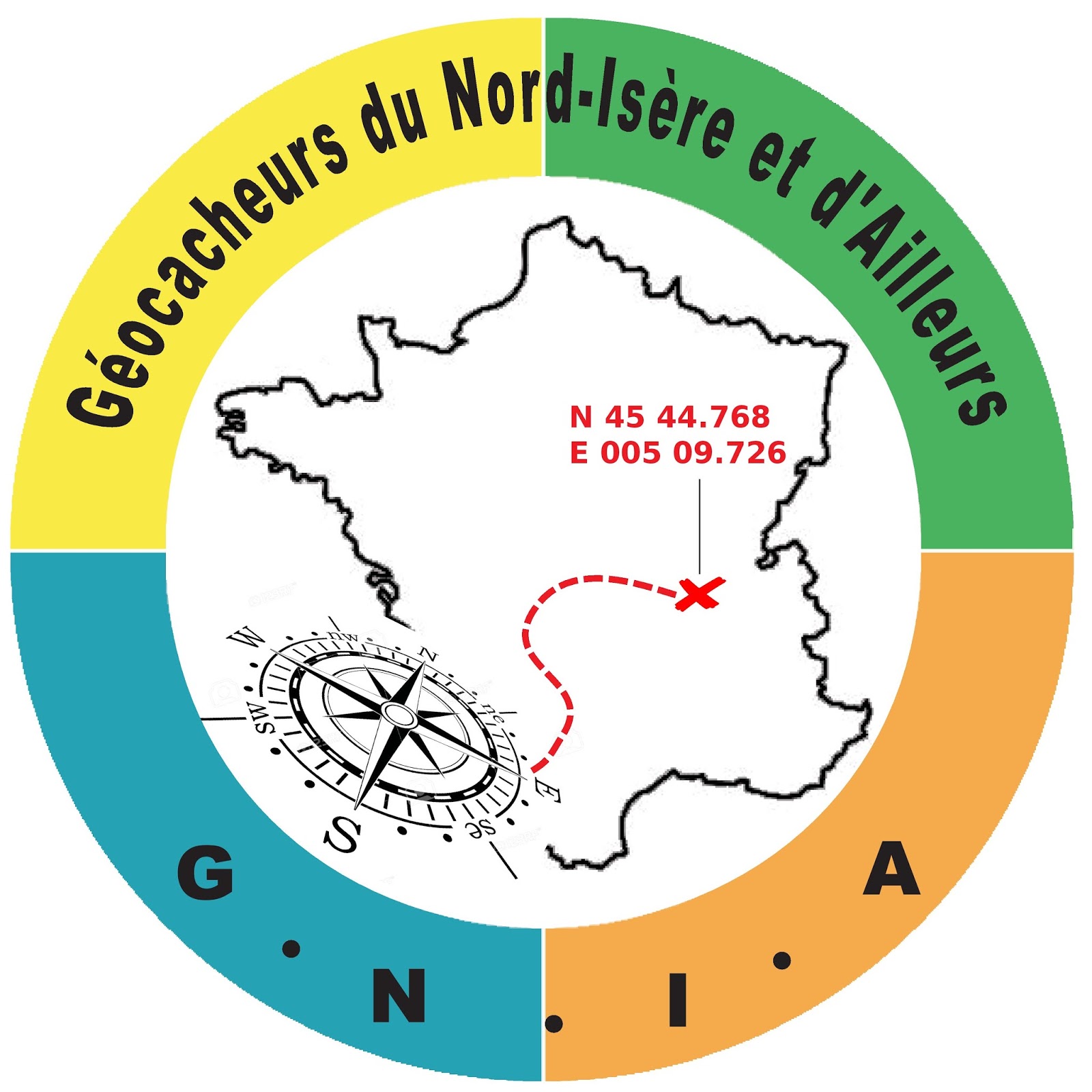
1 - La photo sera prise sur place, aux coordonnées indiquées.
2 - La photo montrera au premier plan les tombes de la nécropole de la Motte et en arrière-plan, la statue de la Vierge Marie ainsi que les tours de réfrigération de la centrale nucléaire du Bugey.
English :
The Louvaresse cliffs of the Isle Crémieu plateau stand out from afar, a real barrier over the Rhône plain. It is on the Larina plateau, overlooking Hières-sur-Amby, that we find traces of human occupation from the Neolithic, around 3000 BCE, during the Bronze Age.
The cultural deposits found prove the sanctity that the occupants vowed to the place. The oppidum, located in a strategic location at the mouth of the Val d´Amby, one of the few routes into the massif, was fortified in the Final Bronze Age. The Celtic people of the Allobroges came to settle there in the 3rd century BC. The habitat developed, with the construction of a large stone rampart. A necropolis of slate tombs was established on the remains of the previous cemetery.
The Romans took possession of the site in the 2nd century, and we then find traces of a temple dedicated to Mercury, whose stones were used for later constructions. It was at this time that the exploitation of the slate quarry took off.
At the end of the Roman Empire, the Burgundians took possession of the place. Most of the tombs in the Motte necropolis date from this period.
In the 6th century, Merovingian period, a fortified domain was organized around a stately villa, with its farm buildings constructed in stone with a slate roof. A new necropolis developed on the highest hill around a mausoleum and a stone church.
It was at the beginning of the 8th century, with the arrival of the Carolingians that the plateau was abandoned. Much later, legend says that a shepherdess guarding her flock on the plateau fell from the cliff and was saved by the Virgin Mary. This is the reason why a statue was erected in his honor.
Farm buildings, habitats, chapel and necropolis are the subject of an interpretive tour, the result of fifteen years of excavation.
To validate your discovery, please attach to your "Found it" log a photo respecting the following two conditions :
1 - The photo will be taken on site, at the coordinates indicated.
2 - The photo will show in the foreground the tombs of the Motte necropolis and in the background, the statue of the Virgin Mary and the cooling towers of the Bugey nuclear power plant.
 Association des Géocacheurs du Nord Isère et d'Ailleurs
Infos, actualités, astuces, aide à l'organisation d'events, ...
Cliquez sur le logo pour consulter le site.
Virtual Rewards 2.0 - 2019/2020
This Virtual Cache is part of a limited release of Virtuals created between June 4, 2019 and June 4, 2020. Only 4,000 cache owners were given the opportunity to hide a Virtual Cache. Learn more about Virtual Rewards 2.0 on the Geocaching Blog.