The Find Your Chesapeake GeoTour
Patuxent River Park

The Chesapeake Bay, the great rivers that feed it, and the vast landscapes surrounding them are at the center of our nation’s story. More than 2,600 miles of designated water trails, 55 units of the National Park System, and scores of state parks, local parks, and wildlife refuges are found within the Chesapeake Bay watershed. Each takes part in conserving special places for visitors, residents, and future generations. The Chesapeake Bay region is filled with rich history and heritage, opportunities for education and science, and beautiful scenery suitable for explorers of all ages. Join us in discovering the Chesapeake region when you “Find Your Chesapeake” and take advantage of our beautiful treasure.
The Find Your Chesapeake (FYC) GeoTour launched June 9, 2018 with over 60 caches within Maryland, Virginia, Pennsylvania. and Delaware. A trackable geocoin will be awarded to the first 400 geocachers, while supplies last, for locating at least 20 FYC caches. To be eligible for the coin, geocachers must download a passport from the Find Your Chesapeake GeoTour website. Geocachers must find and log at least 20 finds, record the code word from each cache on their passport. After discovering the 20 required caches, geocachers may have their passports validated via mail at the National Park Service, Chesapeake Bay Office located at 410 Severn Ave, Suite 314, Annapolis, MD 21403. Please refer to the passport for complete validation instructions.
Participating in the FYC GeoTour is fun and we hope that many people join in. However, it is not a requirement for logging your find on this cache once you find the container.
If you stood here on August 22, 1814, you would have heard a series of deafening explosions. During the War of 1812, Commodore Joshua Barney and the Chesapeake Flotilla fled the British Navy to the shallows of the Patuxent River near Pig Point, just northeast from this park. There the Americans rigged trains of gunpowder to ignite their abandoned flotilla barges and scuttle the fleet. This was done to keep the vessels out of enemy hands.
“Seventeen Vessels...composed this formidable and So much Vaunted Flotilla, Sixteen were in quick Succession blown to atoms and the Seventeenth...was captured.” – British Vice Admiral Cochrane, August 22, 1814
The Geocache
This geocache is a seven stage mutli-cache where the first six stages are information signs which will be used to help you figure out the final location.
Note: 03/23/20 - The cache has been moved to a new location, so the puzzle has changed a bit, you will be adding or subtracting from the number you figure out from the question.
Stage 1 - "O Say can you see" N38 46.404 W76 42.657
- A = First digit in the DAY that soldiers raised a large American flag over Fort McHenry.
Stage 2 - Observation Deck N38 46.412 W76 42.639
- C = Walk up to the top of the observation deck; counting the steps as you go; each landing will count as one step only. What is the first digit in the amount of steps to the top? (Hint: Your answer should end in zero.) Add two to this digit.
Stage 3 - "Climate Change" N38 46.393 W76 42.590
- B = Under the paragraph heading, "Air Temperature", on line four, what is the second degree listed? Take that umber and subtract one.
Stage 4 - "Black Walnut Creek Nature Study Area" N 38 46.320 W 076 42.563
- E = Number of letters in the last word in line 8 of the paragraph. Subtract 9 from this number.
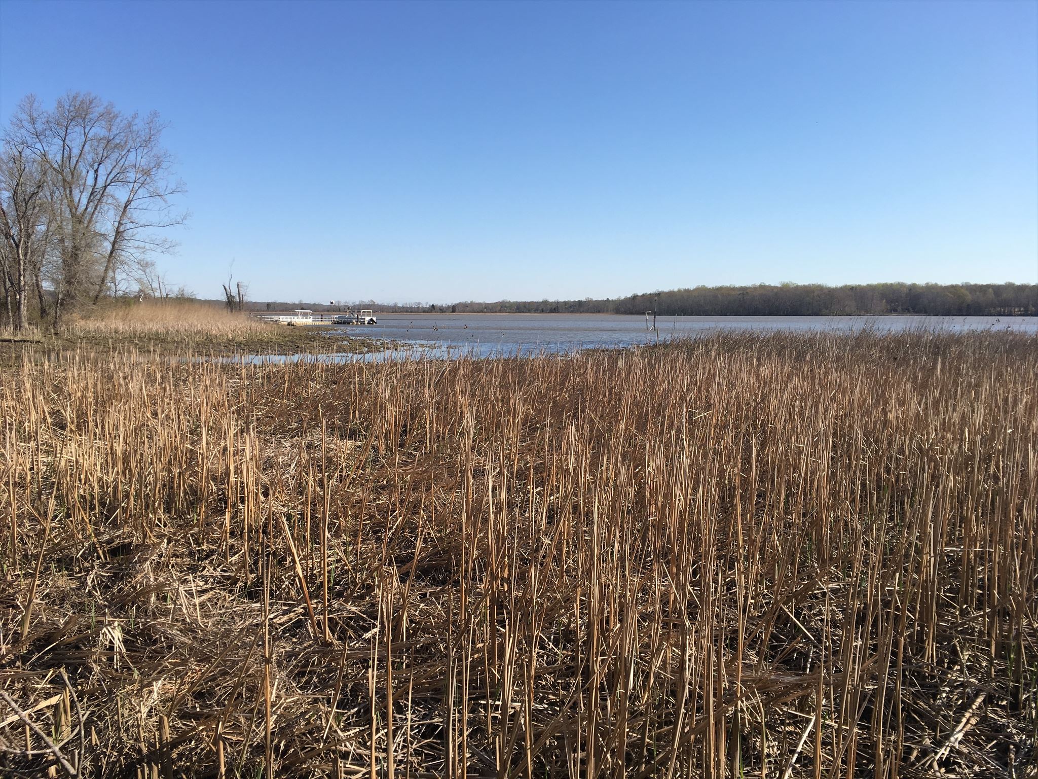
Stage 5 - "Marshes" N38 46.306 W76 42.570
- F = Number of letters in the name of the creature pictured above the image of the mallard. Subtract two from your answer.
Stage 6 - Brown Trail Observation Deck N38 46.194 W76 42.464
- D = Second number on the Brown Trail observation deck rail. Add one to this digit.
The coordinates for the final location are N38° 46.ABC, W76° 42.DEF
The checksum of ABCDEF is 28.
 Thanks to QUE3NBE3 and BlurryFac3 for helping with this hide.
Patuxent River Park is open daily from 8am to dusk. The Visitor Center is open daily from 8am to 4pm. There is no entrance fee for Patuxent River Park. Pets are not allowed at the park and there are no bikes allowed on the trails.