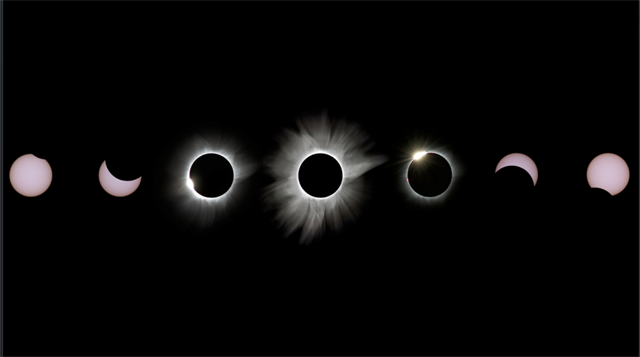
The title for this cache is "solar eclipse" in Irish Gaelic. As you will learn at one of the waypoints, Irish indentured servants helped build this canal where our Riverfront Park is based.
Parking is at Riverfront Park, near the Little Red Schoolhouse which is an actual one room schoolhouse that operated from 1887 to 1913. It is not open to the public.
As you approach Waypoint 1, look to the left and you will see a large metal sculpture near the Fitness Zone.
A= # red birds + 2= _____.
B= # large open leaves - 4= _____.
Irish indentured servants were brought to the area as diggers and stone carvers. There is a sign and a monument dedicated to these workers. What year was the monument erected?
CD= second and third number of that year=_____.
Waypoint 2 is a great view of the Columbia Canal and a photo op (we would love for you to post photos if you decide to take one). Columbia had the first electric powered mill in the world. That cotton mill is now the site of the SC State Museum (and another cache on the Eclipse Cointrail). This waypoint is where the power was produced. What year did the SC General Assembly sell the canal to the Columbia Water Power Company?
E= the last number of that year=_____.
At Waypoint 3, there is a statue honoring the person for whom Columbia was named. What year was he born? How many square miles was
*STATUE IS MISSING SO ANSWERS PROVIDED*
Columbia originally designed to encompass? There is a Biblical quote on the plaque. What is the first number of that reference? Now look for a stone block tower. How many blocks make up the tower? There are impressions of different objects in the stone. How many pairs of eyeglasses do you see? Lastly, look for the Water Works sign. What year did the SC Legislature establish the Water Works? How many gallons of water can the canal provide in a day?
FG= up to __72__ million gallons of water a day can be provided.
HI= __ 81__ = the second and third numbers of the year the SC Legislature established the Water Works.
J= # square miles - 2=___0__.
K= __3___= the first number in the Proverbs Biblical reference
L= ___4__= the second number of the birth year of Columbia's namesake.
M= _____= # pairs of eyeglasses.
N= # blocks + 2=_____.
FINAL:
North AB CD.EFG
West 0HI JK.LMN