
The Maryland Geocaching Society welcomes you to the 2017 edition of Cache Across Maryland! This is one of eleven geocaches placed throughout the ‘Old Line State’ in locations specifically chosen to showcase its diverse beauty. From the mountains of Western Maryland to the wetlands of the Eastern Shore, CAM 2017 will demonstrate that Maryland truly is ‘America in Miniature’.
Each Cache Across Maryland 2017 geocache contains a code which you will use to determine the location of the CAM 2017 Picnic to be held on May 6th. The code can be found on the inside of the cache container and on the inside front cover of the logbook. Don't forget to record this code! Any geocacher who has completed TEN of the eleven CAM 2017 geocaches and attends the CAM Picnic on May 6th will receive a Certificate of Completion and a CAM 2017 Geocoin. We hope you enjoy a very special CAM 2017!

Friendship Farm Park
Friendship Farm Park is located off Friendship Landing Road, just off of Route 425 in Nanjemoy. This scenic park overlooks the Nanjemoy Creek and offers a variety of passive recreational activities, such as hiking, fishing and kayaking.
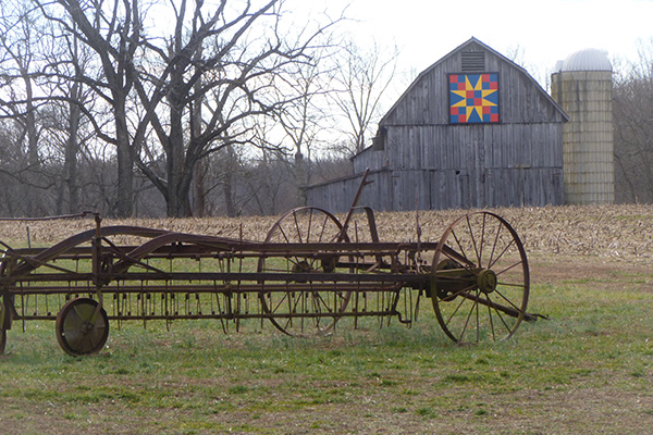
Over seven miles of recreational trail provides public access to the park’s 382 acres of forest and occasional agricultural fields. Visitors can explore the outstanding natural resources and serenity that surrounds Nanjemoy Creek. Amenities such as interpretive signs, benches and observation decks are highlights along the trail. Friendship Farm Park is also noted for reliable wildlife viewing opportunities. In addition to hiking, horses are allowed on portions of the trail from April to November.
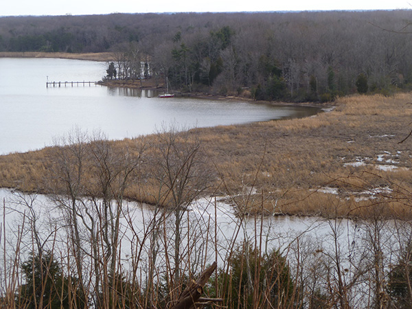
A County-owned boat ramp is open year round (dawn to dusk) and offers easy access to the Potomac River. Limited shoreline and pier fishing is available. Maryland DNR has designated this small section of the park as a free fishing area – anglers are not required to possess a fishing license.
The Geocache
You will be hiking the Dent's Landing Trail (yellow blazes). Hiking the entire loop in a counter-clockwise direction is recommended. (A trailhead waypoint has been provided.) The terrain rating reflects the moderately steep elevation change toward the beginning of the trail. Since it's a loop trail, it would be possible to avoid this section by hiking the loop clockwise to the CAM cache and then retrace your steps back to parking. A trailmap has been uploaded to the image gallery (https://goo.gl/caMk72).
Friendship Farm Park is open from dawn to dusk.
This geocache was placed by permission of the Charles County Department of Public Facilities. The MGS extends its thanks to the staff of Friendship Farm Park for approving this cache placement.