Dans les méandres de l'Auxance... EarthCache
Dans les méandres de l'Auxance...
-
Difficulty:
-

-
Terrain:
-

Size:  (other)
Please note Use of geocaching.com services is subject to the terms and conditions
in our disclaimer.
Méandres et zones humides de Migné....
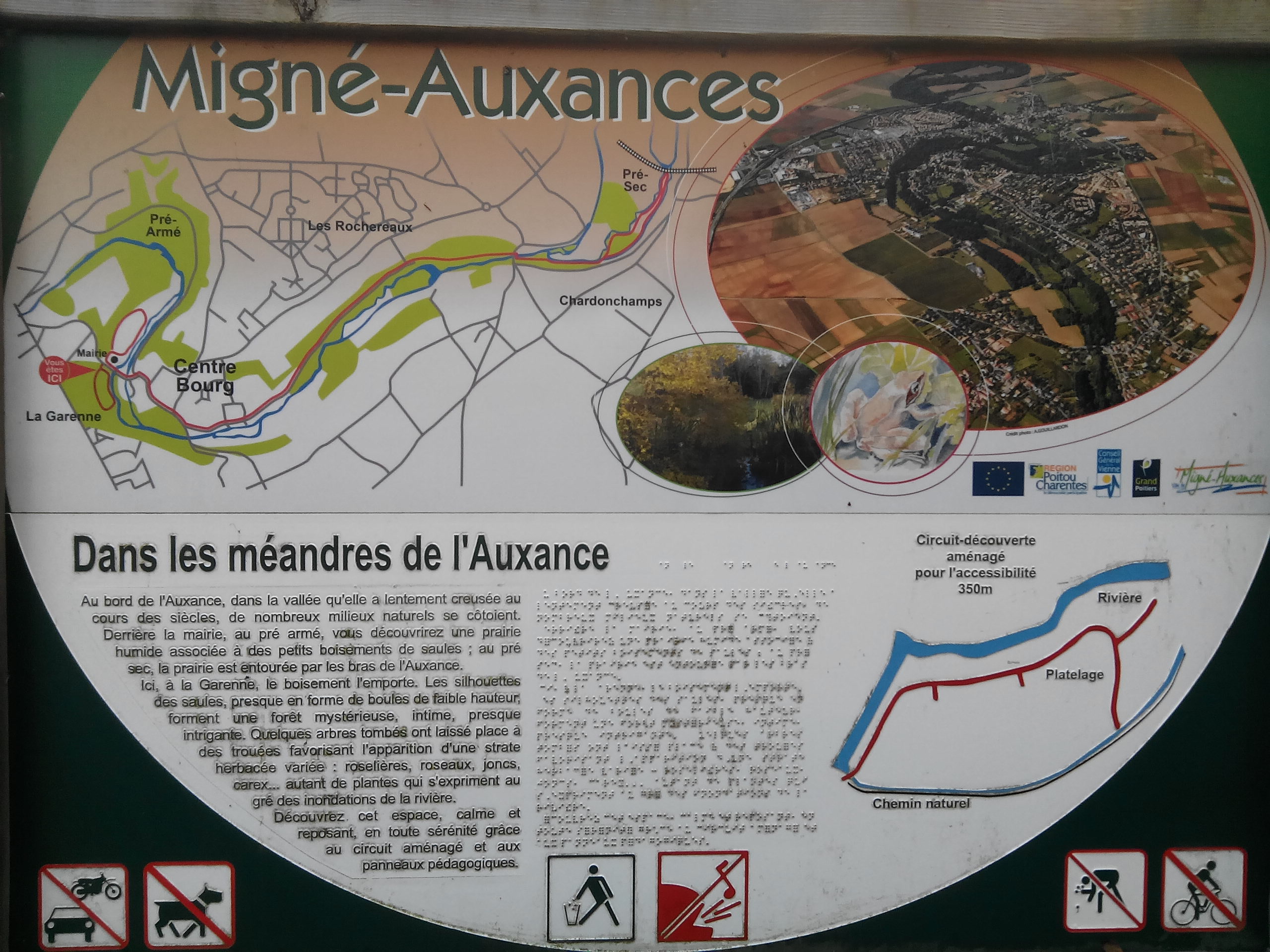 Pour découvrir cet univers, empruntez les passerelles sur 350 mètres et informez-vous avec les plaquettes illustrées le long du parcours.. .
Les passerelles. 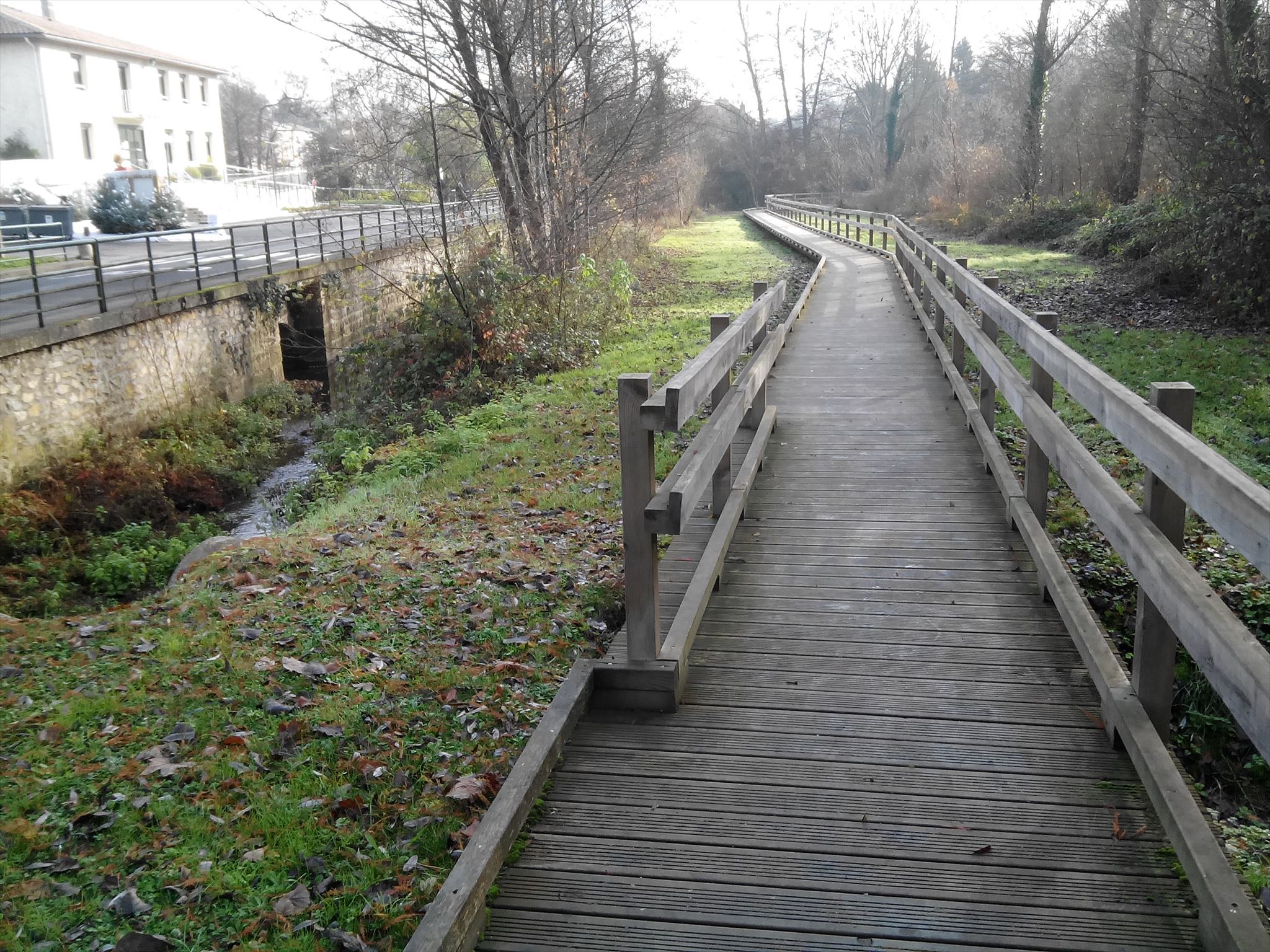 Le schéma qui suit illustre comment agissent les processus d'érosion et de dépôt dans un cours d'eau méandrique...
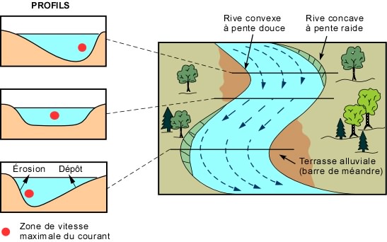 Dans un méandre (profils du haut et du bas), l'érosion se fait sur la rive concave, à pente raide, là où la vitesse du courant est la plus grande, alors que le dépôt se fait sur l'autre rive, convexe, là où la vitesse du courant est plus faible, formant une terrasse alluviale (ou barre de méandre). Le couple érosion-dépôt entraîne une migration latérale du méandre, causant un élargissement de la vallée au stade de maturité et une remobilisation des sédiments au stade de vieillesse de la vallée...
RAPPEL: Earthcache = pas de boite a trouver !!!
Pour valider le "found it": répondez à ces questions ?
Toutes les réponses sont sur la face cachée de cette plaquette au WP !!!
Dans un méandre (profils du haut et du bas), l'érosion se fait sur la rive concave, à pente raide, là où la vitesse du courant est la plus grande, alors que le dépôt se fait sur l'autre rive, convexe, là où la vitesse du courant est plus faible, formant une terrasse alluviale (ou barre de méandre). Le couple érosion-dépôt entraîne une migration latérale du méandre, causant un élargissement de la vallée au stade de maturité et une remobilisation des sédiments au stade de vieillesse de la vallée...
RAPPEL: Earthcache = pas de boite a trouver !!!
Pour valider le "found it": répondez à ces questions ?
Toutes les réponses sont sur la face cachée de cette plaquette au WP !!!
Toute photo de la plaquette dévoilant les réponses dans vos logs sera supprimée...
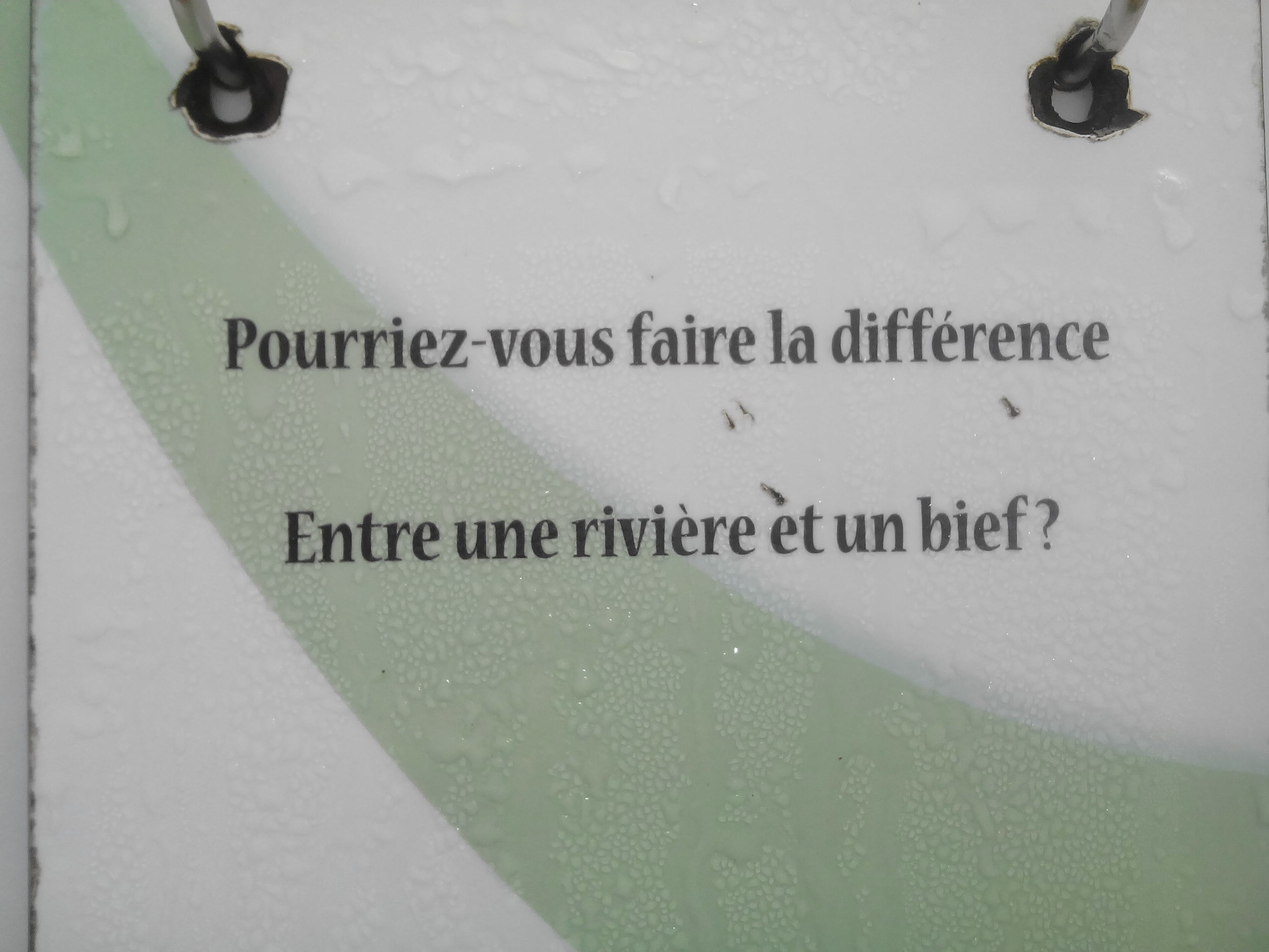
1) Différence entre rivière et bief... (les 2 phrases complètes de la plaquette)
2) Noms des lieux des 2 principaux méandres de l'Auxance ?(d'après le shéma)
3) Par rapport à la vanne motrice: ou se situent le bief et le canal de fuite
(leurs positions D ou G)?
Photo optionnelle sur la passerelle.
Loguez cette cache "Found it" et envoyez-moi vos propositions de réponses soit via mon profil, soit via la messagerie geocaching.com (Message Center), et je vous contacterai en cas de problème.
BONNE DECOUVERTE...
 Meanders and wetlands of Migné ....
To discover this universe, take the footbridges for 350 meters and find out more.
Gateways.
"JUSTIFY"> The following diagram illustrates how the processes of erosion and deposition in a meandering watercourse act ...
In a meander (top and bottom profiles), erosion occurs on the concave, steep slope where The velocity of the current is greatest, while the deposition occurs on the other, convex edge, where the velocity of the current is lower, forming an alluvial or meandering barrier. The erosion-deposition couple induces a lateral migration of the meander, causing the valley to widen at the stage of maturity and a remobilization of the sediments in the old age of the valley.
REMINDER: Earthcache = no box to find !!!
To validate the "found it": answer these questions?
All the answers are on the hidden side of this brochure at WP !!!
Any picture of the wafer in your logs will be removed ...
1) Difference between river and reach ... (the 2 complete sentences of the brochure) 2) Names of the 2 main meanders of the Auxance? (According to the schema)
3) With respect to the drive valve: where are the reach and the leakage channel (which is to D and to G)?
Optional photo on the bridge.
Log in this "Found it" cache and send me your suggestions for answers either via my profile or via messaging geocaching.com (Message Center), and I will contact you in case of problem.
GOOD DISCOVERY ...
Additional Hints
(Decrypt)
Pbhegr onynqr fhe ha pvephvg nzéanté rg féphevfé... (1 frhy JC npprffvoyr ra snhgrhvy ebhynag)
**************************
Fubeg jnyx ba n pvephvg betnavmrq naq frpherq ... (1 bayl JC npprffvoyr va jurrypunve)