[IT]Mazzorbo è un’isola ad est di Burano che grazie ad un ponte è diventata una sorta di appendice di quest'ultima.
Anticamente fu popolata dagli abitanti della terraferma (specialmente altinati) in fuga dalle invasioni barbariche, in particolare dai Longobardi, che tra il VI e il VII secolo si espansero scacciando i Bizantini oltre il limite della Laguna. Tuttavia i reperti archeologici dimostrano che l'isola fosse frequentata già in epoche precedenti grazie a dei vasetti di fattura micenea (oggi conservati al Museo provinciale di Torcello), testimonianza che la zona fosse soggetta a scambi commerciali già in epoca preromana.
Raggiunto il massimo splendore nel X secolo, dopo il Mille anche Mazzorbo, come i centri vicini, iniziò a declinare in favore della vicina Venezia. Divenne così un'isola "campestre", utilizzata per le attività agricole e luogo di svaghi per i patrizi veneziani.
Oggi dell'antica Mazzorbo non resta praticamente traccia, eccetto la chiesa di Santa Caterina innalzata tra il 1283 e 1291, la sua campana è la più antica della Laguna (1318).
Negli anni ottanta l'architetto italiano Giancarlo De Carlo progetta e realizza a Mazzorbo un complesso residenziale finalizzato a ripopolare l'isola, il centro sportivo e il cimitero di Burano.
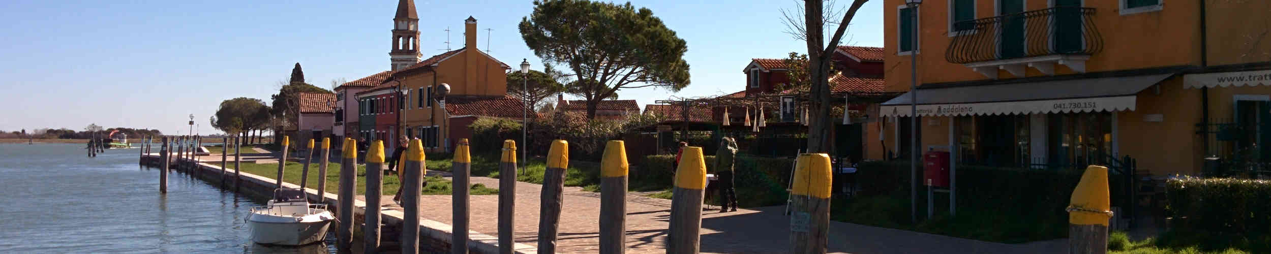
Le coordinate forse non sono precisissime e il GPS un po’ ballerino, ma l’immagine spoiler vi aiuterà. Portate una penna. Buona caccia!
[ENG]Mazzorbo is an island to the east of Burano that thanks to a bridge has become an appendage of the latter.
Formerly it was populated by the inhabitants of the mainland (especially Altino) fleeing from the barbarian invasions, in particular by the Lombards, that between the sixth and seventh centuries expanded driving out the Byzantines over the Laguna limit. However, archaeological finds show that the island was already popular in earlier times thanks to the Mycenaean jars bill (now kept at the Provincial Museum of Torcello), evidence that the area was subject to trade before the Roman era.
It reached its peak in the tenth century, even after the Mille Mazzorbo, like the nearby villages, began to decline in favor of Venice. Thus it became an island "country", used for agricultural activities and place of recreation for the Venetian patricians.
Today ancient Mazzorbo do is practically no trace, except the St. Catherine's Church built between 1283 and 1291, its bell is the oldest of the Lagoon (1318).
In the eighties the Italian architect Giancarlo De Carlo designs and manufactures in Mazzorbo a residential complex designed to repopulate the island, the sports center and the cemetery of Burano.
Perhaps the coordinates aren’t very precise and the GPS a bit 'dancer, but the spoiler image will help. Bring a pen. Good hunting!