OS CACHES NÃO ESTÃO COLOCADOS NAS COORDENADAS INDICADAS NA PÁGINA DO CACHE. PARA DESCOBRIR AONDE ELES ESTÃO É NECESSÁRIO RESOLVER OS MISTÉRIOS.
Todas as dicas tem a referência na ordem progressiva da numeração dos caches. Portanto consideram que você está caminhando do 16 para o 17 para o 18 e assim por diante.
NENHUM CACHE ESTÁ DENTRO DA MATA. ESTÃO TODOS COLOCADOS A NÃO MAIS QUE 1 ou 2 METROS DA BEIRA DA TRILHA.
O CELULAR NÃO TEM SINAL DENTRO DO PARQUE, PREPARE-SE PARA CACHAR OFFLINE.
O Parque Estadual da Cantareira é uma Unidade de Conservação de proteção integral, criado em 1963. Sua área é divida em quatro núcleos: Pedra Grande, Engordador, Águas Claras e Cabuçu. Possui uma área de 7.916 hectares e abrange quatro municípios: São Paulo, Caieiras, Mairiporã e Guarulhos. Considerado uma das maiores florestas urbanas nativas do mundo, foi declarado parte da Reserva da Biosfera do Cinturão Verde da cidade de São Paulo.
A famosa Pedra Grande oferece uma das mais belas vistas da cidade de São Paulo.
Esta geoarte é composta por 40 geocaches mistério de fácil solução colocados ao longo das belas trilhas dos núcleos Pedra Grande e Águas Claras. Os caches estão colocados a não mais do que 1 metro da borda da trilha, não sendo necessário entrar na mata para encontra-los.
Nesta página, na parte de pontos adicionais, você encontra as coordenadas dos estacionamentos dos dois núcleos. É indiferente começar a caminhada por um núcleo ou pelo outro.
INFORMAÇÕES BÁSICAS DO LOCAL
Nos meses de dezembro e janeiro: aberto todos os dias com entrada permitida das 8h as 15h e permanência até as 17h. Fechado nos dias 25/12 e 01/01.
De fevereiro a novembro: aberto somente aos sábados, domingos e feriados com entrada permitida das 8h as 15h e permanência até as 17h.
EM DIAS DE CHUVA O PARQUE NÃO ABRE.
As trilhas do parque são largas e mais parecem uma estrada de terra que uma trilha. O trecho do Núcleo Pedra Grande é asfaltado. Apesar disso AS TRILHAS SÃO SOMENTE PARA SER PERCORRIDAS A PÉ. BICICLETAS SÃO PROIBIDAS.
Banheiros e bebedouros são encontrados nos dois estacionamentos e também na Pedra Grande e no Lago das Carpas. As coordenadas dos dois pontos também estão nos pontos adicionais desta página.
Taxa de entrada: R$13,00. Estudantes pagam meia com carteirinha. Acima de 60 anos e menores de 11 anos estão isentos.
SOBRE A CAMINHADA
As trilhas do parque são muito bonitas e fáceis de serem percorridas, entretanto as distâncias podem ser um pouco exageradas para algumas pessoas. Recomendamos trazer água e comida.
Abaixo tem uma tabela de distâncias bem detalhada para você poder programar o seu dia de cachada. Estude-a com cuidado e programe o que for mais indicado para a sua forma física. Não existe nenhuma necessidade de fazer toda a trilha em um dia.
TRILHA COMPLETA PARA OS 40 CACHES IDA E VOLTA (ENTRANDO E SAINDO PELO MESMO NÚCLEO): 18 km
TRILHA COMPLETA PARA OS 40 CACHES SOMENTE IDA (ENTRANDO POR UM NÚCLEO E SAINDO PELO OUTRO): 12,5 km
APENAS TRILHA DO NÚCLEO PEDRA GRANDE IDA E VOLTA: 8,7 km
APENAS TRILHA DO NÚCLEO ÁGUAS CLARAS IDA E VOLTA INCLUINDO O LAGO DAS CARPAS: 8,2 km
APENAS TRILHA DO NÚCLEO ÁGUAS CLARAS IDA E VOLTA SOMENTE O TRECHO DA SAMAMBAIA-AÇÚ/BOSQUE DOS PINHEIROS: 3,5 km
SOBRE OS MISTÉRIOS
Para solucionar todos os mistérios é necessário utilizar a tabela de fotos abaixo. Essa tabela NÃO está duplicada em nenhuma outra página de nenhum cache da geoarte. Portanto tenha ele à mão para poder decifrar os mistérios.
O mistério 01 - deste cache aqui - encontra-se após a tabela de fotos.
Caso você tenha alguma dúvida ou problema na solução dos mistérios pode entrar em contato via email ou mensagem.
SOBRE OS CACHES
Ajude-nos a manter os caches. Se não achar algum, faça o log de DNF. Se possível leve consigo zip bags e logs para colocar nos tubos em que os logs estiverem molhados.
Recoloque os caches de uma maneira cuidadosa. Não os deixe expostos. Se estiverem presos com arame então prenda-os corretamente para não perder o cache.
INFORMAÇÕES COMPLEMENTARES
Qualquer comentário, elogio ou crítica faça-o no log deste cache (Welcome Center). Se quiser deixar todos os outros logs como copy/paste não tem nenhum problema.
BOA SORTE E DIVIRTA-SE!
3
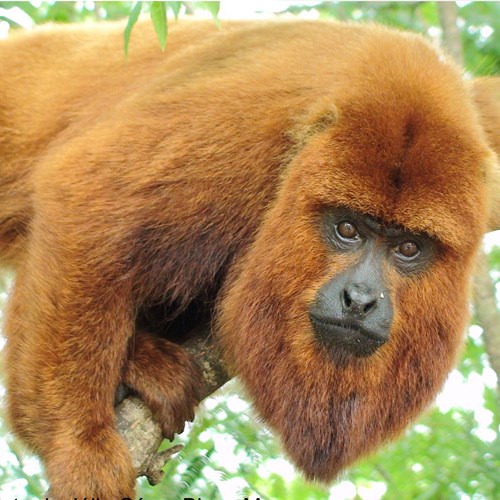
Macaco bugio
|
4
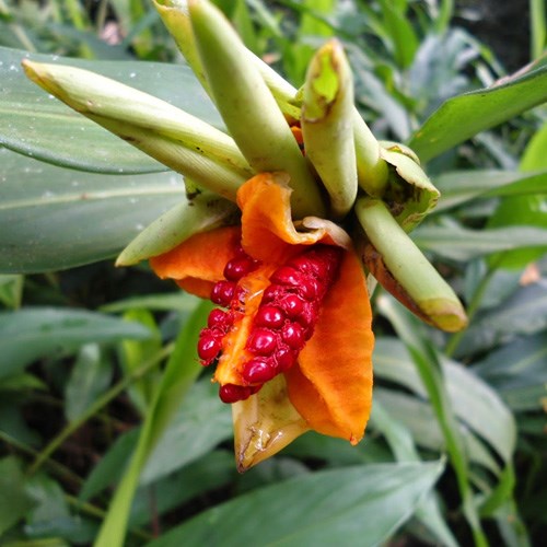
Bromélia
|
0
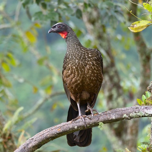
Jacú guaçú
|
7
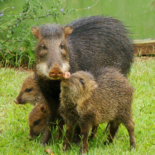
Cateto
|
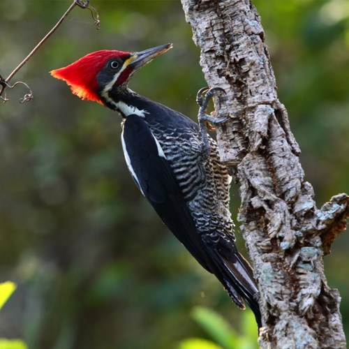
2
Pica-pau de cabeça vermelha
|
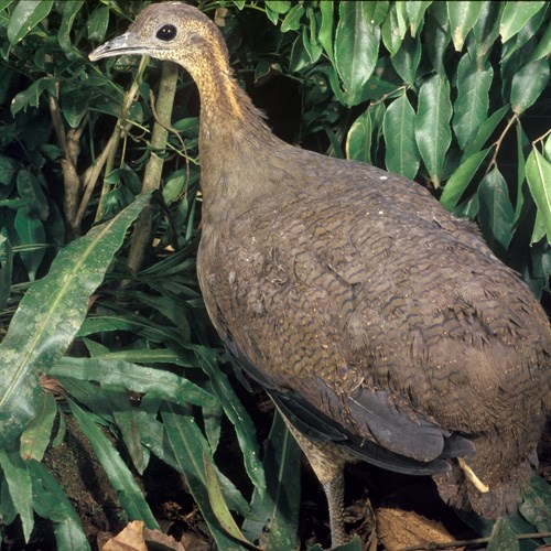
5
Macuco
|
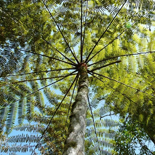
9
Samambaia açú
|
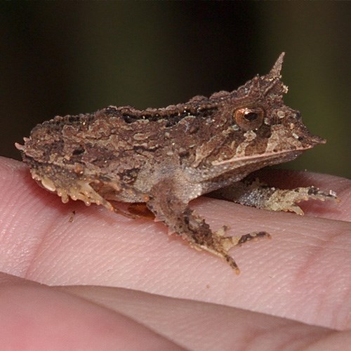
3
Sapo de chifre
|

8
Bicho preguiça
|
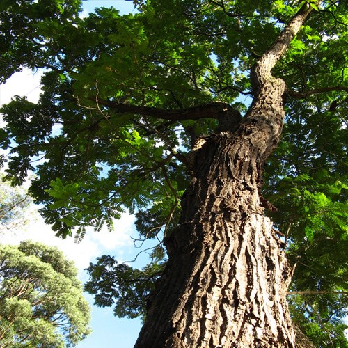
1
Cedro rosa
|
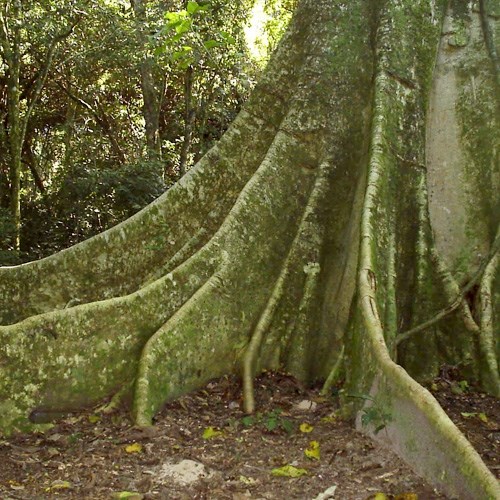
1
Figueira
|
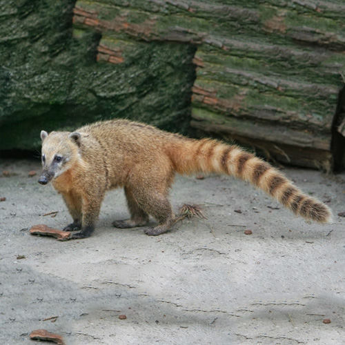
0
Quati
|
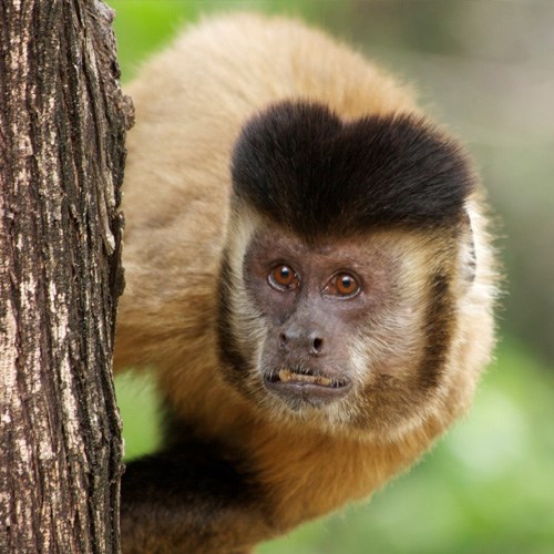
9
Macaco prego
|
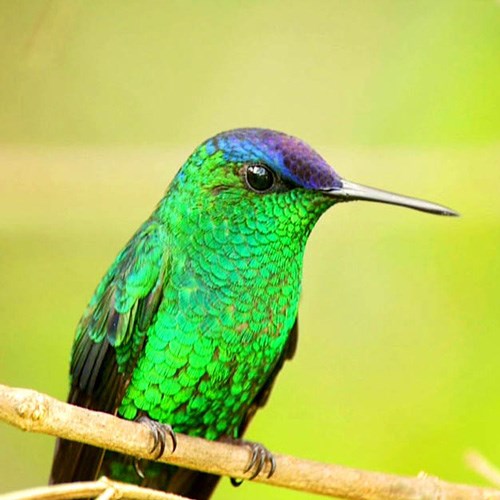
6
Beija-flor de fronte violeta
|
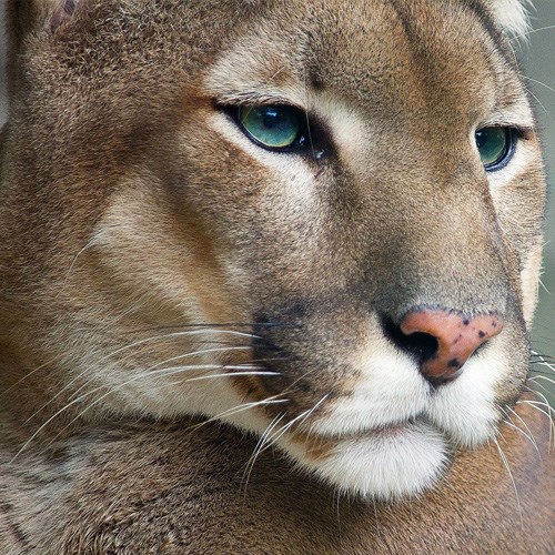
3
Suçuarana
|
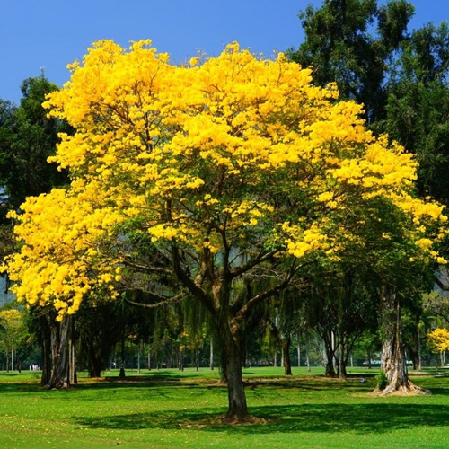
3
Ipê
|
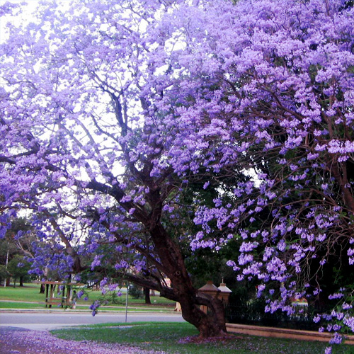
8
Jacarandá paulista
|
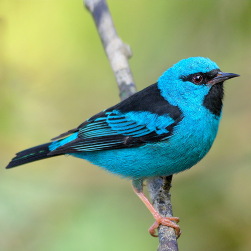
2
Saí azul
|
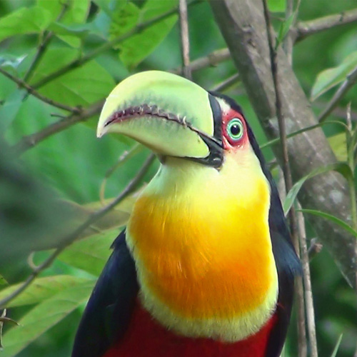
7
Tucano de bico verde
|
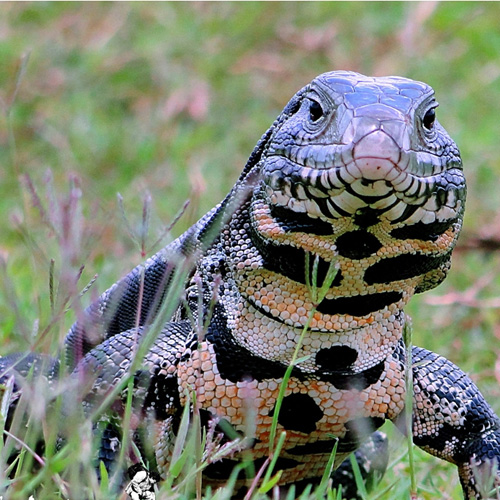
0
Lagarto teiú
|
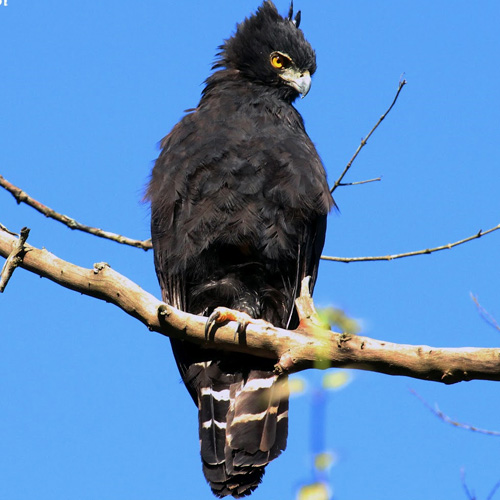
9
Gavião pega-macaco
|
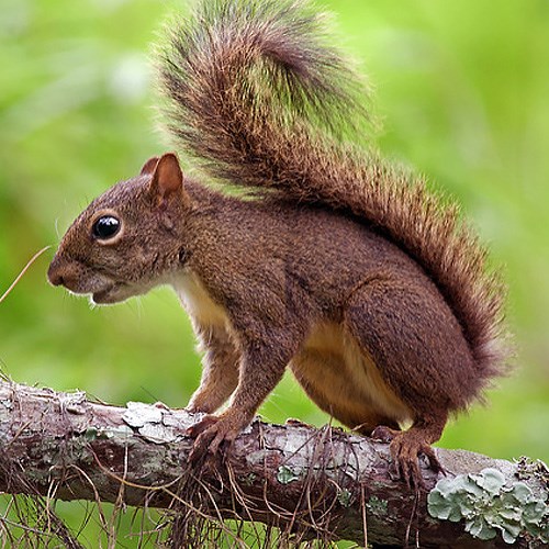
6
Caxinguelê
|
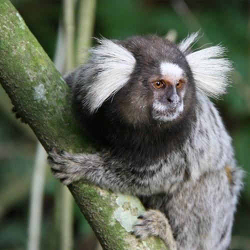
1
Sagui
|
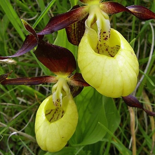
5
Orquídea
|
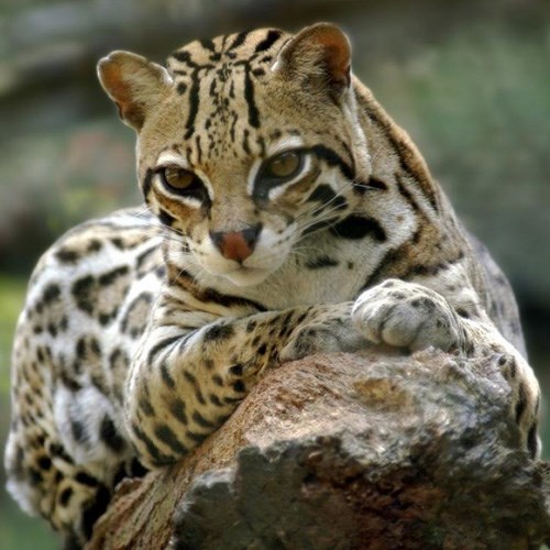
4
Jaguatirica
|
MISTÉRIO | PUZZLE
S23° 27. ' W46° 38. '
ENGLISH VERSION
GEOCACHES ARE NOT LOCATED AT THE GIVEN COORDINATES. TO FIND THE ACTUAL COORDINATE YOU NEED TO SOLVE THE PUZZLES.
All hints are referenced in a progressive cache number order. So we assume that you are walking from the 16 to the 17 to 18 and so on.
THERE IS NO CACHE HIDDEN INSIDE THE FOREST. THEY ARE ALL HIDDEN NO MORE THAN 1 OR 2 METERS FROM THE TRAIL BORDER.
THERE IS NO CELLPHONE SIGNAL INSIDE THE PARK. PREPARE YOURSELF TO GEOCACHE OFFLINE.
The Cantareira State Park is an Integral Protection Conservation Unit, established in 1963. Its area is divided into four sections: Pedra Grande(Big Stone), Engordador, Aguas Claras (Clear Waters) and Cabuçu. It has an area of 7,916 hectares and covers four cities: São Paulo, Caieiras, Mairiporã and Guarulhos. Considered one of the largest urban native forests in the world, it was declared part of the Biosphere Reserve of the Green Belt of São Paulo.
The famous Pedra Grande most likely offers the best view of São Paulo city.
This geoart consists of 40 easy solution mystery geocaches placed along the wonderful trails of the Pedra Grande and Aguas Claras area. Caches are placed no more than 2 meters (6 feet) from the trails edge so there is no need to go into the forest to find them.
On this page, on the additional points, you can find the parking lot coordinates of the two areas. There is no difference starting walk from either areas.
BASIC INFO ABOUT THE PARK
December and January: park stays open everyday from 8am to 5pm with entrance to the park only up to 3pm. Closed 25/dec and 01/jan.
From February to November: open only on saturdays, sundays and holidays from 8am to 5pm with entrance to the park only up to 3pm.
FOR SAFETY REASONS THE PARK WON'T OPEN IN RAINY DAYS.
The park trails are wide and looks more like a dirt road instead of a typical trail. The Pedra Grande área trail is asphalted. Nevertheless THE TRAILS ARE FOOT ONLY. BICYCLES ARE PROHIBITED.
Restrooms and waterfountains are found in the two parking lots and also in Pedra Grande and Carps Lake. The coordinates of the two points are also at the additional points on this page.
Entrance fee: R$13,00. Fre for over 60 and children up to 11 year.
ABOUT THE WALKING
The park trails are gorgeous and easy to be traveled, however distances can be a bit exaggerated to some people. We recommend bringing food and water.
Below is a detailed distances table so you can plan your geocaching day. Study carefully and set whateaver goal is most suited to your physical abilities.
COMPLETE 40 GEOCACHES TRAIL ROUND TRIP (IN & OUT BY THE SAME PARKING LOT): 18 km / 11 miles
COMPLETE 40 GEOCACHES TRAIL ONE WAY (IN BY ONE AREA & OUT BY THE OTHER): 12,5 km / 7,7 miles
PEDRA GRANDE AREA TRAIL ONLY ROUND TRIP: 8,7 km / 5,5 miles
AGUAS CLARAS AREA TRAIL ONLY ROUND TRIP INCLUDING CARP LAKE: 8,2 km / 5 miles
AGUAS CLARAS AREA TRAIL ONLY THE SAMAMBAIA-AÇÚ/PINE TREE GROVE ROUND TRIP : 3,5 km / 2,3 miles
ABOUT THE PUZZLES
To solve all the mysteries you must use the above pictures table. This table is NOT duplicated in any other page of any cache of this geoart. So always have this table by your side when you tackle the puzzles.
The first puzzle - the one in this cache - lies right beneath the pictures table.
If you have any question or problem in solving the puzzles you can contact us via email or message.
ABOUT THE GEOCACHES
Help us keep the geocaches. If you do not find one, log DNF. If possible bring along zip bags and spare logs to place in the tubes in which the logs are wet.
Replace the caches in a careful way. Do not leave them exposed. If one is secure with wire secure them properly in order to not get lost.
MORE INFORMATIONS
If you have any comments, praise or criticism, please do it in this cache log (Welcome Center). If you want to leave all others logs as copy / paste that's up to you.
GOOD LUCK AND HAVE FUN!