Cascade Traditional Geocache
-
Difficulty:
-

-
Terrain:
-

Size:  (small)
Please note Use of geocaching.com services is subject to the terms and conditions
in our disclaimer.
Kaskada

 Od Baške do Vele i Male Luke najinteresantnije je doći stazom koja kreće od ulaska u naturistički kamp Bunculuka i koja se kroz slikopisan kanjon Vrženice penje do Rebice gdje je krasan vidikovac. Od Rebice se staza u serpentinama spušta do Vele i Male Luke. Ne treba naglašavati da je pogled prema dolje veličanstven.
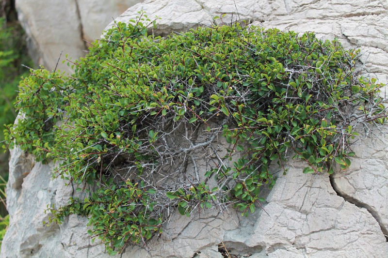
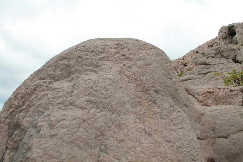
Od uvale Vrženica započinje uspon istoimenim kanjonom u dužini 2,3 km do raskrižja, gdje se izlazi iz kanjona. Od svih planinarskih staza na otoku Krku kanjon Vrženice smatra se najtežom stazom budući da uspon zahtjeva na nekoliko mjesta upotrebu ruku i nogu (no nije teško ni nesavladivo). Sam početak staze gotovo je polegnut, te se u nastavku umjereno uspinje do prvih prepreka, gdje je potrebno malo vještine za penjanje. Kanjon je vrlo zanimljiv, prolazi uskim tjesnacima, a s obje strane izdižu se visoke kamene litice, ispod kojih se hoda po okruglom kamenju – oblutcima, što upućuje da su vodene bujice za vrijeme velikih kiša stoljećima formirale kanjon stvarajući oblutke.
Na ovom mjestu je kanjon malo drugačiji i šteta bi bilo da se prođe kroz njega bez zadržavanja i kraćeg razgledanja. I ovaj keš je postavljen na malo višu poziciju kako ga ne bi odnijele vodene bujice u sezoni kiša. Dok sjedite možete jesti kupine koje ste usput nabrali :).
Napomena:
Izbjegavajte planinarenje po otoku po jakom suncu. Idite na izlet po oblačnom vremenu. Ili rano ujutro. I ponesite si dosta vode. Gore nema pitke vode.
I još nešto... Kolovoz je mjesec kad je kanjon pun zrelih kupina. Ponesite si neku posudicu da ih usput i naberete. Samo pazite na zmije.
Pomoć:
Turističke obilježene staze (Turistička zajednica općine Baška)
 Cascade
From Baška to Vela and Mala Luka most interesting path is the one that goes from the entrance of the naturist camp Bunculuka through the picturesque canyon Vrženica to Rebica where is a beautiful viewpoint. From Rebica there is a serpentine path down to Vela and Mala Luka. Of course, the view is magnificent.
From the bay Vrženica begins a climb to the canyon of the same name in the length of 2.3 km to the intersection, where it comes out of the canyon. Of all the hiking trails on the island, canyon Vrženica is considered the most difficult path since the use of both arms and legs is required on some places, but it is not impossible at all. The canyon is very interesting, passing the narrow straits. and on either side the high rocky cliffs rise, below which you walk on the round stones - pebbles, which means that the floods (from heavy rains) during centuries formed the canyon, creating pebbles.
At this point, the canyon is a little bit different and it would be a shame to pass through it without a break and short sightseeing. And this cache is set to a slightly higher position to be safe the water floods in the rainy season. While sitting you can eat blackberries that you picked up along the way :).
Note:
Avoid hiking on the island in bright sunlight. Go on a trip on a cloudy day. Or early in the morning. And bring plenty of water. There is no drinking water up there.
Oh yeah, and another thing... August is the month when the canyon is full of ripe blackberries. Bring a bowl to pick them along the way. Just watch out for snakes.
Help:
Marked tourist footpaths (Municipal tourism office Baška)
Additional Hints
(Decrypt)
[HR]: tber/xnzrawr - ivqv fcbwyre fyvxh
[ENG]: hc/fgbarf - frr fcbvyre