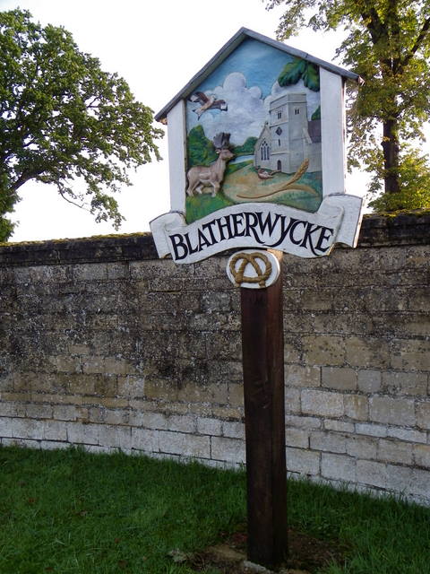
BLATHERWYCKE
Blatherwycke is a parish of 815 hectares on either side of Willow Brook. The S.E. part of the parish is on Oxford Clay, partly overlain with Boulder Clay. In the Middle Ages there were two parishes, each with a separate church and village, on opposite banks of the stream. In 1448 the W. parish of St. Mary Magdalene was united with the E. parish of Holy Trinity, the former church to be used only for the patronal festival until it fell down. The surviving church of Holy Trinity is now vested in the Redundant Churches Fund (RCHM, Northants I, Blatherwycke (3)). There are two separate parcels of glebe land, represented by mons. (4) and (8).
In the 16th century the manor passed to Humphrey Stafford, a relative of the Lords Stafford. In 1560 his descendant, also Humphrey, obtained a licence to create a park of 300 acres (125 hectares) (Cal. Put. (1558–60), 354). It was this same Humphrey who began the building of a large new house on his manor of Kirby in 1570, and probably carried out alterations at Blatherwycke as well. Kirby was sold in 1575 and Blatherwycke remained the family seat. In the early 18th century the estate was divided between William Stafford's two daughters, Blatherwycke being the share of Susannah, the elder. She married Henry O'Brien who rebuilt the house on inheriting it in 1720 to designs by Thomas Ripley. The present park and lake were presumably formed subsequently, incorporating the deer park. The village street is carried across the upper part of the lake by a causeway and bridge which must have assumed their present form by 1826.
he Staffords followed a policy of consolidation of their estates in the late 16th century (NRS, 19 (1956), 146 etc.) and it was probably at this time that they bought up the copyholds in Blatherwycke parish. The population seems to have been fairly constant, with about 30 families from the 16th to the early 19th century, illustrating the control over the size of the village exercised by the landowners. The houses are mostly 19th-century estate cottages, the exceptions being the former rectory (8) and the glebe farm house (4).
A brickpit on the Oxford Clay appears to have been worked sporadically from at least 1685, a large triangular pond remaining in the park.
Ecclesiastical
The Church of the Holy Trinity formerly the parish church, but now vested in the Redundant Churches Fund, stands in a churchyard near the site of Blatherwycke Hall, about 245 m. N.E. of the village. It comprises a Chancel, North Chapel, Nave and North Aisle, West Tower, and South Porch. The walls are of rubble, some of which is coursed, and the tower is of freestone; the roofs are stone-slated. An early church, perhaps of late 11th-century date, is indicated by the survival of a double-splayed window in the W. wall of the nave. The simple but wide tower arch below it appears to be contemporary with this window. The S. doorway of the nave and reset material forming a belfry window are probably also late 11th-century. These features indicate an early church with an aisleless nave and a W. tower, but nothing of its chancel remains. In the late 12th century a N. aisle was added, the N. wall of the nave being mostly rebuilt in the process; the long E. respond of the arcade may suggest that the N.E. angle of the former nave was allowed to remain. In the early 14th century the church was enlarged when the chancel was rebuilt and a chapel added on the N. side. By the early 17th century the tower was in a poor condition (NRO, Church Survey Book, 1605–6, X622/11; 1619, X622/3), necessitating the rebuilding of all of it except for the E. wall within the church. In 1819 the chancel was again rebuilt, but was shortened by some seven feet (NRO, Faculty Register V, 75, 3 July 1819). The N. chapel was similarly shortened. Flesher's view of c. 1810 (BL. Add. MS 37411, f. 6) shows the S. side of the chancel before its curtailment and with three 14th-century windows, a low-side window and priest's doorway. Clarke's pencil sketch of 1846 indicates that two of the S. chancel windows and the priest's doorway were reset and that the E. windows of the chancel and N. chapel which were replaced later in the 19th-century, were of similar type to those in the S. wall. Probably in the 19th century the N. aisle was widened; Bridges writing in 1719 records that the total width of nave and aisle was then 29 feet (Bridges II, 273). The N. wall of both the N. chapel and N. aisle were rebuilt in the late 19th century.
If you would like to add to the VS (village sign) series, please contact Smokeypugs for a number, to avoid duplication.