The focus of this earthcache is the difference between the fresh water marsh and the salt marsh on the opposite side of the road.
Special thanks to Plasma Boy for helping me with this earthcache.
To log this earthcache, don’t worry about answering all questions perfectly correct. Simply send your best attempts at answers for the questions in a private message to me, (the cache owner), and then go ahead and log it as found.
You don’t need to wait for my approval. All attempts will be accepted.
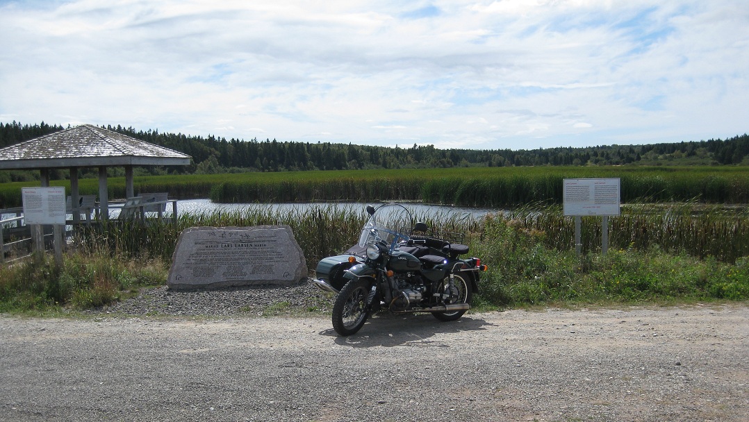
- [REQUIRED] Please post a photo in your log of yourself or a personal item at the park with the marsh in the background to prove you visited the site.
- What is the elevation from sea level, at the posted coordinates?
- What are the major differences between the salt marsh and the freshwater marsh?
Visitors must respect the “Do Not Cross onto the Beach” signs. These signs are typically up for 4-6 weeks during the sandpiper migration to protect critical shorebird roosting areas from disturbance.
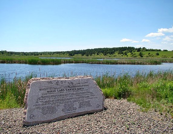
Lars Larsen Marsh is a large freshwater marsh with a superb viewing platform on the western, freshwater side of the marsh. Lars Larsen Marsh is dyked and has a water level control mechanism. The eastern side of the marsh, the mouth of the Shepody River, is a large salt marsh and mudflat region which experiences the full effect of the world’s highest tides.
The marsh is located in the Shepody National Wildlife Area which occupies an area of 9.89 km2. It includes Mary’s Point and the large, fresh and saltwater marsh complex northeast of Mary’s Point that is maintained jointly by the Environment Canada (Canadian Wildlife Service) and Ducks Unlimited Canada. The mudflats are used for feeding by large numbers of shorebirds in migration, along with the mudflats at Mary’s Point.
Freshwater marshes are usually found near the mouths of rivers and are present in areas with low drainage. They are the counterparts to salt marshes, upper coastal intertidal zones of bio-habitat which are regularly flushed with sea water. The water in freshwater marshes is usually one to six feet deep and is rich in minerals. Water flows into marshes from rain or from a water source like creeks, streams, or rivers. Freshwater marshes are non-tidal biomes containing little or no peat, unlike bogs and fens, both a kind of mire and mires consisting heavily of moist, biologically active peat.
Low-growing plants like grasses and sedges are common in freshwater marshes. Bulrushes and cattails are often found at the edges of a marsh. There are very few trees in freshwater marshes. Freshwater marshes can vary in size from very small to very large.
Salt marshes are coastal wetlands that are flooded and drained by salt water brought in by the tides. They are marshy because the soil may be composed of deep mud and peat. Peat is made of decomposing plant matter that is often several feet thick. Peat is waterlogged, root-filled, and very spongy. Because salt marshes are frequently submerged by the tides and contain a lot of decomposing plant material, oxygen levels in the peat can be extremely low—a condition called hypoxia. Hypoxia is caused by the growth of bacteria which produce the sulfurous rotten-egg smell that is often associated with marshes and mud flats.
Salt marshes thrive along protected shorelines, and are a common habitat in estuaries. These intertidal habitats are essential for healthy fisheries, coastlines, and also provide essential food, refuge, or nursery habitat for more than 75 percent of fisheries species, including shrimp, blue crab, and many fin fish.
Salt marshes also protect shorelines from erosion by buffering wave action and trapping sediments. They reduce flooding by slowing and absorbing rainwater and protect water quality by filtering runoff, and by metabolizing excess nutrients.