Located along Rattlesnake Ridge, just south of Interstate 90 near North Bend, Washington. Reception at the site was spotty but the hint may help.
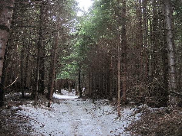
Rattlesnake Ridge rises from the intersection of State Route 18 and I-90 and runs southeast about seven air miles or twelve trail miles. It is the highest and easternmost of the Issaquah Alps. A complicated maze of abandoned logging roads and constructed trails have been strung together to provide a 12-mile foot path from the Snoqualmie Point trailhead at Exit 27 on I-90 all the way to the Rattlesnake Lake trailhead near Exit 32. Or if you'd prefer, you can start at Rattlesnake Lake trailhead and hike all the way to Exit 27 on I-90; whichever is easier. If you start (or end) at the lake, be sure to check out GCNWCC, Cedar Falls History Cache, to learn some unusual facts about the origin of Rattlesnake Lake.
This cache is a regular lock-n-lock filled with odds and ends I found around the house. Please feel free to take something (the odds and ends, not the lock-n-lock) and leave something for the next person to discover. While you're at it, you might as well sign the logbook; after all, you did hike all the way up here.