CZ
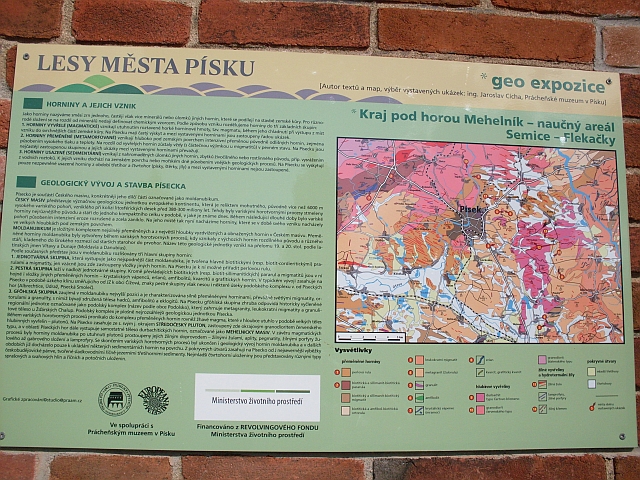
Horniny a jejich rozdělení
Hornina je směs zrn jednoho ale častěji více minerálů, která se podílí na stavbě zemské kůry. Rozdělují se podle způsobu vzniku na horniny vyvřelé, které vzikají tuhnutím magmatu, horniny usazené, jež vznikají usazováním nánosů na dně řek a moří, a horniny přeměněné, které se přeměňují buď chemickou cestou nebo za vysokých tlaků a teplot pod povrchem zemským.

Písecko je součástí Českého masívu, přesněji jeho části, která se nazývá moldanubikum. Moldanubikum je souhrn nejsilněji přeměněných hornin, které byly vytvořeny během variského horotvorného procesu. Tyto horniny vám podrobně představí samotná expozice.

Úkoly
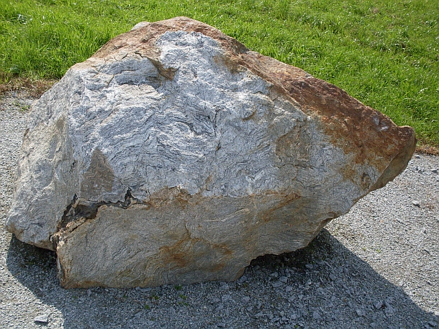
1.) Najdi na expozici BIOTICKOU PARARULU, zjisti její výšku a její délku.
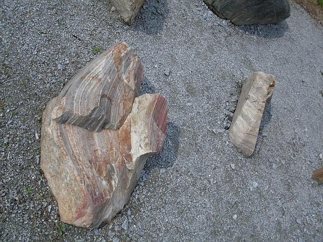
2.) Najdi na expozici GRANULIT, spočítej kolik kusů je v expozici a změř délku (delší než šířka) a výšku nejjižnějšího, nejmenšího kusu. (viz foto, ten malý kámen)
3.) Najdi na expozici TURMALÍNOVÁ „SLUNCE" (NODULE) V LEUKOKRATNÍ ŽILNÉ ŽULE a zjisti počet těchto sluncí (celých, části ne) na vyleštěné plošce.
4.) Zjisti, která hornina to měla na expozici, od místa nálezu (kde byla vytěžena) nejblíže?
Odpovědi na úkoly prosím pište do zpráv sem na Geocaching, poté se zalogujte, pokud bude nějaká odpověď chybná, ozvu se. U každé odpovědi, kde je třeba něco změřit, je určitá tolerance v počtu cm.
Toleruje se jedna chyba.
EN
Rocks and their separation
A rock is a mixture of grains of one but more often more minerals, which participate in structure of the earth's crust. They are separating by type of creating: Igneous rocks, which arise solidification of magma. Seated rocks, which arise seating sediment load on the bottom of rivers and seas. Metamorphic rocks, which transform themselves either chemical way or during higher temperatures and pressures under the surface of earth.
Písek region is part of Czech massif, more accurately the part called moldanubikum. The moldanubikum is a summary of the strongest matamorphosed rocks which were created during the Variscan mountain forming process. The exposition show you these rocks in detail.
The tasks
1.) Find in the exposition BIOTICKÁ PARARULA [BIOTIC PARAGNEISS], find out its height and its lenght.
2.) Find in the exposition GRANULIT [GRANULIT], count how many speciments are in the exposition and measure the lenght (longer than width) and hight od the southernmost one. (see photo, the small stone)
3.) Find in the exposition TURMALÍNOVÁ „SLUNCE" (NODULE) V LEUKOKRATNÍ ŽILNÉ ŽULE [TURMAN 'SUNS' (NODULES) IN LEUCOCRAT VENOUS GRANITE] and find out a quantity of theses suns (whole, NOT parts) on the polished surface.
4.) Find out, which rock travelled to the exposition from the place of finding (where it was mined) the shortest distance?
The answers write me by GC messeges, then make a log. If an answer is wrong, I write you back.
It's tolerating one wrong answer.
Editace:
Přidán překlad do Aj - 4.8. 2016