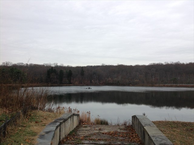
There is a lot of history in the northern woods and hills of White Plains. From the Revolutionary War defenses, to the Stony Hill Cemetery containing graves of freed slaves and war veterans, to the urban legends surrounding Buckout Road (if you see a large white deer in these woods, consider yourself blessed; if you see a large white cannibal, run for your life!). This area is where you will now find the White Plains Reservoirs #1 and #2, drawn from the NYC controlled Kensico Reservoir, which supply all of the city's water.
The cache is located on an old Indian Trail, once called Old Hill Avenue, which connects Old Orchard Street with Hall Avenue and Buckout Road.
Congrats to NaMo for FTF, braving the Great Turk-yote that rises from the reservoir at midnight every Thanksgiving!
Bonus Question: Please do NOT post any spoilers or pictures answering this bonus question! The White Plains Historical Society has established an 11-mile loop trail around the city's historical points of interest, including the old Indian Trail. The QA2 waypoint on this cache listing points you to one of the red-white-and-blue diamond signs which mark this loop trail. What is the trail name listed on the sign? Noting the answer to this question may come in handy for future adventures...