|
PT
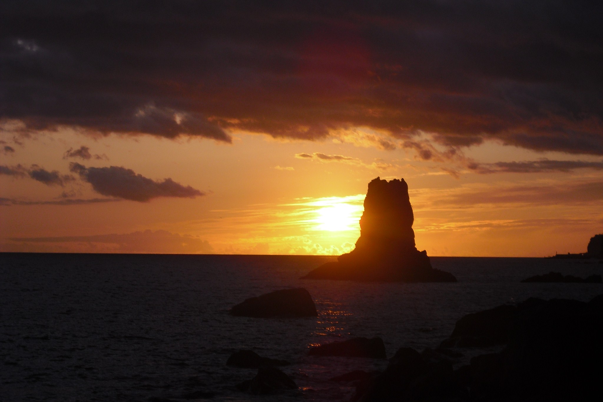
O nome “campanário” teve origem quando os descobridores chegaram à Ilha da Madeira e ao passar pelo Cabo Girão viram um ilhéu com duas altas pernadas. Ao ver a rocha com uma estrutura tão estranha e tão característica a um campanário, deram o nome à região derivado ao ilhéu: Campanário. Campanário é uma freguesia portuguesa do concelho da Ribeira Brava, com 11,80 km² de área e 4 131 habitantes (2001). Densidade: 350,1 hab/km². Localiza-se a uma latitude 32.65 (32°39\') Norte e a uma longitude 17.033 (17°2\') Oeste, estando a uma altitude de 0 metros. Campanário tem uma estrada que liga Calheta e Funchal. A actividade principal é a agricultura. É banhada pelo Oceano Atlântico a sul. Tem montanhas a norte. "A freguesia de Campanário é a segunda mais populosa do Concelho. Situa-se na linha da costa(sul) a oriente da sede de Concelho, outrora conhecida por «celeiro das conquistas» por ter sido centro importante de cereais, exportados para as costas do Norte de África.
A Cache:
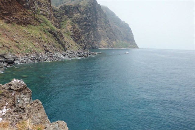
Estacione nas coordenadas indicadas, entre no pequeno trilho que o vai levar até o Calhau.
IMPORTANTE:
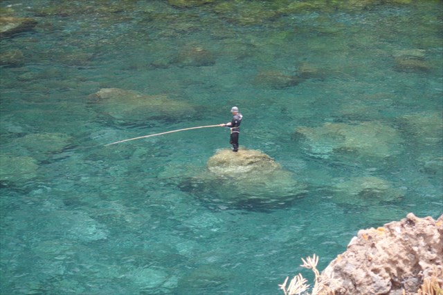
A cache não é aconselhada a pessoas com vertigens, a subida até ao topo do ilheu é complicada por isso deve ter o máximo de precaução, não é aconselhado fazer com o mar agitado, é aconselhado levar calçado resistente e luvas, para alcançar a cache deve ser muito hábil, se não for será fundamental trabalho de equipa.
ENG
The name "campanário" originated when the explorers arrived in the island of Madeira and passing the Cabo Girão saw an islet with two high kicks. Upon seeing the rock with a structure so strange and so characteristic a bell, gave the name to the region derived islet: Belfry. Bell is a parish in the municipality of Ribeira Brava, with 11.80 km ² and 4131 inhabitants (2001). Density: 350.1 inhabitants / km ². Located at latitude 32.65 (32 ° 39 \') north and longitude 17.033 (2 ° 17\') west, with an altitude of 0 meters. Bell has a road linking Calheta and Funchal. The main activity is agriculture. It is bordered by the Atlantic Ocean to the south. It has mountains to the north. "The parish of Steeple is the second most populous county. Situated on the shore line (south) to the east of the county seat, once known as the \'granary of achievements" for being important center of cereals exported back North Africa.
The Cache:
Park at the given coordinates, between the small trail that will lead to the Calhau.
IMPORTANT:
The cache is not recommended for people with vertigo, the climb to the top of the islet is complicated so it must have maximum precaution, it is advised not to do with the troubled sea, is advisable to bring sturdy shoes and gloves, to reach the cache must be very skilled, if not will be critical teamwork.
|