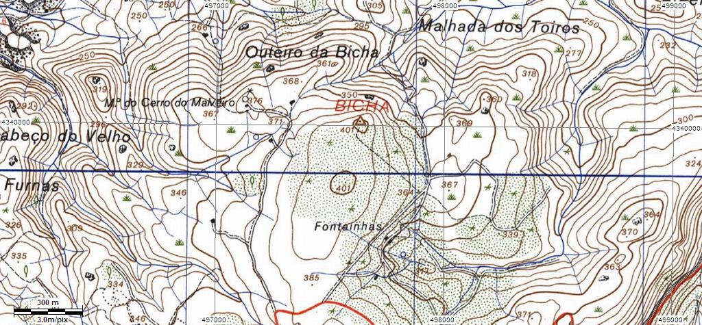
Projecto VG - Bicha (Serra de Montejunto) –
PGS-02
A Rede
Geodésica Nacional
A Rede
Geodésica Nacional (RGN) é composta por um conjunto de pontos
coordenados - Vértices Geodésicos - que possibilitam a
referenciação espacial.

O número
de vértices existentes na totalidade do território (Portugal
Continental e Regiões Autónomas) é, actualmente, de cerca de nove
mil, repartidos por vértices de:
Continente:
1ª Ordem (cerca de 120), 2ª Ordem (cerca de 900) e 3ª Ordem (com
uma densidade aproximada de 1 vértice por cada 10 km²) Arquipélago
dos Açores: cerca de 500 Arquipélago da Madeira: cerca de
150
A RGN é a
infra-estrutura básica onde se apoia toda a cartografia do País, e
que serve todos aqueles (empresas, autarquias e outros organismos
públicos e privados) que, por força das suas actividades,
necessitam de referenciar geograficamente os seus projectos (os
Planos Directores Municipais, por exemplo).
Dados,gráficos
e Textos retirados de :
http://www.igeo.pt/IGEO/portugues/Frameset-produtos.htm
The National Geodesic
Network
The National Geodesic Network (RGN) is
composed by a set of coordinate points - Geodesic Vertexes - that
make spatial referencing possible.
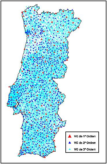
The number of existing vertexes on the
whole territory (Continental Portugal and Autonomous Regions) is,
currently, of about nine thousand, and they are distributed in
vertexes of: Continent: 1st Order (about 120),
2nd Order (about 900) and 3rdOrder (with an
approximate density of 1 vertex per 10 km²); Archipelago of Azores:
about 500; Archipelago of Madeira: about 150.
The RGN is the basic infrastructure that
supports all the cartography of the Country, and that it serves all
those (public and private companies, autarchies and other
organisms) that, because of their activities, need to reference
their projects geographically (the Municipal Director Plans, for
example).
A
CACHE
É pequena
e contém o habitual: Logbook, cachenote, lápis e alguns presentes
para troca.
THE CACHE
It's small and it contains the usual:
Logbook, cachenote, pencil and some presents to trade.