The Pend Oreille River is a tributary of the Columbia River, approximately 130 miles long, in northern Idaho and northeastern Washington in the United States, as well as southeastern British Columbia in Canada. In its passage through British Columbia its name is spelled Pend-d'Oreille River. It drains a scenic area of the Rocky Mountains along the U.S.-Canada border on the east side of the Columbia. The river is sometimes defined as the lower part of the Clark Fork, which rises in western Montana. The full drainage basin of the river and its tributaries accounts for 43% of the entire Columbia River Basin above the confluence with the Columbia. The total area of the Pend Oreille basin is just under 10% of the entire 258,000-square-mile Columbia Basin.
Native people who lived along the river included the Pend d'Oreilles and Kalispel. Archaeological evidence suggests that people lived in the region as early as the end of the last Ice Age, about 11,000-12,000 years ago.
Much of the Pend Oreille valley consists of relatively ancient metamorphic rock, uplifted over 500 million years ago from the former floor of the Precambrian sea that covered the region during that period. Granite batholiths overlain by layers of sedimentary rock compose most of the higher terrain, such as the Cabinet Mountains. The age of the rocks along the Pend Oreille generally decreases as one travels downstream, and the terrain is also more rugged towards the north than in the south. About 200 million years ago, increased tectonic activity caused the uplift of the Idaho Batholith, a portion of which cooled and eroded to become the present main body of the Bitterroot Range, a major physiographic feature of the watershed which sweeps from northwest to southeast along the entire Clark Fork valley (and the border of Idaho and Montana), by about 70 million years ago. This time period is generally accepted as when the entire Rocky Mountains system was formed, although age of the rocks varies with location.
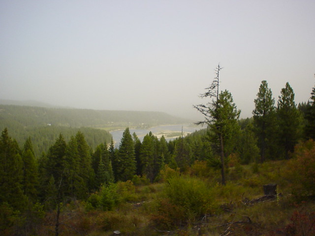 "Pend Oreille River Valley, north of Newport, Washington"
In the previous Ice Age, a massive glacier of the Cordilleran Ice Sheet advanced southwards through the Idaho Panhandle, burying the Lake Pend Oreille and upper Pend Oreille River valley with ice hundreds to thousands of feet thick. This formed a pair of ice dams, one gigantic, and one significantly smaller. The one that caused the water of the Clark Fork and other smaller streams to back up into Glacial Lake Missoula, which stretched over two hundred miles southwest across western Montana, containing some 500 cubic miles of water, was over 2,000 feet high. The second one blocked the upper Pend Oreille River near Sandpoint, creating an enlarged Lake Pend Oreille that could have connected with a similarly enlarged Kootenay Lake in the north. Water pressure and glacial melt destroyed the larger of the two ice dams several times, causing massive amounts of water to rush out across eastern Washington through the upper Pend Oreille River. A mistaken belief is that these cataclysmic floods, known as the Missoula Floods, traveled down the Pend Oreille Valley into the Columbia. Rather, it is now thought that the water completely breached the western divide of the Pend Oreille River valley and rushed out towards the direction of Spokane.
Resources: www.wikipedia.org, "Pend Oreille River".
To claim this Earthcache you will have to answer the following questions and email me (PaneledZero@gmail.com) the answers. Please do not post answers in your log, If answers are posted, your log could be deleted without warning. Make sure to post a photo if you can. Thank you!
1. Visit the above coordinates. Estimate the distance across the river.
2. Is the beach in this area rocky, sandy, a little bit of both?
3. While at Ground Zero, is the river flowing north or south?
Extra Credit: Visit N 48 11.130 W 117 01.858. (within 200 feet from where you are standing). Once here you will see a visitor information sign. Answer the following question: What was the steamboat "Spokane" used for between 1904 & 1909 along the Pend Oreille River?
Thanks for visiting!


PaneledZero
Platinum Earthcache Master
