---------- DEU ----------
Ziemlich
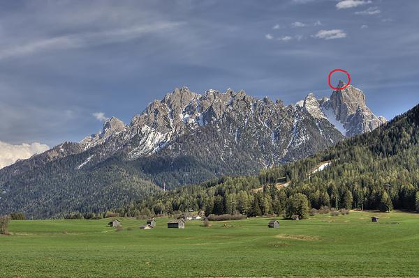
anstrengende Wanderung auf den Gipfel des Birkenkofels (2920m); ca.
4,5h für den Aufstieg notwendig.
Parkplatz: N46° 40.892 E012° 13.438 (1300m)
Straße überqueren, Weg Nr.9 bis zur Lückelescharte
folgen, von dort links halten, den Zeichen und Steinmännchen
folgen.
An zwei Stellen kurze und ganz leichte Kletterei notwendig (siehe
Fotos 4, 5, 6), letztes Stück ist etwas ausgesetzt jedoch mit Seil
und Ketten gesichert.
Trittsicherheit und Schwindelfreiheit auf diesem
Alpinsteig erforderlich!
---------- ENG ----------
A strenuous hike to the summit of the mountain
called Birkenkofel (2920m); you need about 4,5h for the
ascent.
Parking Area: N46° 40.892 E012° 13.438 (1300m)
cross the road, follow way nr.9 to the
Lückelescharte, from here keep to the left and follow the
signs and cairns.
On two locations there is asked short and easy climbing (look
images 4, 5, 6), the last part is slightly exposed but secured with
rope and chains.
This alpine-hike is suitable for those who are
sure-footed and have good balance!
---------- ITA ----------
Una camminata abbastanza faticosa sulla cima del
Birkenkofel (2920m); servono circa 4,5h per la salita.
Parcheggio: N46° 40.892 E012° 13.438 (1300m)
Attraversare la strada e seguire il sentiero nr.9 fino alla
Lückelescharte, li tenersi a sinistra e seguire i segni e
gli ometti di pietra.
Durante il percorso sono richiesti due pezzi corti di arrampicata
facile (immagini 4, 5, 6), la parte finale è un po’ esposta,
pero dotato di Corda e catene.
Requisiti particolari per questo sentiero alpino:
passo sicuro e assenza di vertigini!
*****
Bitte Fotos machen und hier reinstellen
Please take some pictures and share them here
Prego fare alcune immagini e condividergli qui
---------------------------------------------
Opencaching: Birkenkofel (OCBABA)