This cache is located near the mouth of the Columbia River. The cache container is about 2 miles from the posted coordinates on the Oregon side of the Columbia. In order to get the cache's true coordinates you MUST find my Columbia River Trackable. The trackable has the final coordinates to the cache and the hint.
The road leading out to the cache can be under water at times, so taking the beach way would be better.
Please don't place the Travel Bug into the South Jetty Caches!
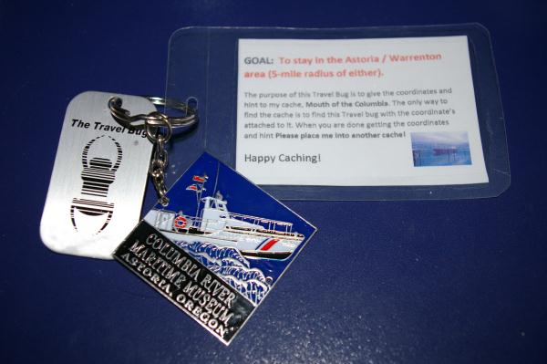
The Original Columbia River Travel Bug
Edit: Since the trackable has disappeared multiple times, I'm deciding to make it a simple puzzle instead to find the final coordinates.
To find the final coordinates solve this puzzle (information can be found here):
N X° Y.000 W 1Z° SS.000
X = Length in miles - 1197
Y = ((average discharge (cu ft/min) / 100,000) - 0.65) * 7
Z = (length rank of rivers of Canada) + 1
S = elevation at mouth
You can check your answers for this puzzle on GeoChecker.com.