Calmont Earth Cache
Dieser Earthcache liegt direkt an der Mosel
gegenüber dem Kloster Stuben. Nur zu Fuß ist er optimal zu
erreichen. Parken in der näheren Umgebung ist nicht direkt möglich
- also bitte einen Fußmarsch einplanen.

Teilweise anstrengende und herausfordernde
Wanderung durch den Calmont. Gute Trekking-Schuhe sind ein Muß.
Länge mit Calmont Walk (Replacement) GC61DC etwa 4,7 km; Dauer etwa
1/2 Tag oder mehr, je nach Fitness. "Ausrüstung:" keine Höhenangst,
trainierte Wanderer, Trittsicherheit.
Start und Ziel ist N50 06.206 E07 08.240
(Parkplatz).
Ausgangsgestein
Der Boden dieses Standortes entwickelte sich aus
quarzitischen Sandsteinen. Deren Bildung begann vor mehreren
Millionen Jahren im Devon (genauer: Unterems). In einem flachen
Meer, das sich anstelle des heutigen rheinische Schiefergebirges
ausdehnte, lagerten sich feine Sande und Tone vom nördlich
liegenden Festland ab. Sie wurden in den folgenden Millionen Jahren
von weiteren Ablagerungen überdeckt und
verfestigt.
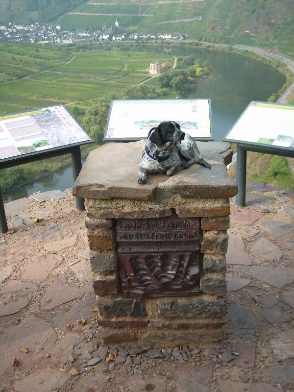
Wenn Ihr diesen Cache loggen
möchtet, macht Ihr
1) ein Foto von Euch mit der Schautafel oder
Schautafel mit GPS.
2) Schickt mir eine Mail und beantwortet folgende
Frage:
b) Wieviel Milionen Jahre exakt
liegt die Bildung im Devon (genauer: Unterems) zurück?
Die Torfnasen 

English Version
Calmont Earth Cache
This earthcache is located directly at the Mosel
opposite Kloster Stuben. It's quite easy to reach only by
foot.Parking around is quite difficult - just walk!
.
Partly strenous and demanding hike thru the
Calmont. A sturdy pair of trekking shoes are a must. Length:
approx. 4.7 km with Calmont Walk (Replacement) GC61DC; calculate
half a day or more depending on your level of fitness Personal
requirements: freedom of vertigo essential, trained hikers,
sure-footedness.
Start & end at N50 06.206 E07 08.240
(Parking).
Output rock
The ground of this location developed from
quarzitischen sandstones. Their education began before several
millions years ago in the Devon (more exact: Unterems). In a flat
sea, which expanded in place of the today's rhine slate mountains,
stored themselves purifies sand and clay/tone from the mainland
lying north off. They were covered and solidified in the following
millions years by further deposits.
If you want to log this cache, you
have to
1) make a photo of yourself and the table or
table with GPS.
2) Send me a mail and answer the following
question:
b) How much Milionen years exactly
lies the education in the Devonian (more exact: Unterems)
back?
Die Torfnasen