Cette cache pour vous inciter à une
petite balade en ce « Gai-Lieu », lieu-dit situé sur le
chemin de halage côté rive droite de la Vilaine allant de Rennes à
Redon.

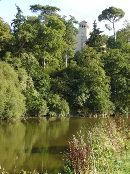
Les différents points de vue
permettent d'observer l'aménagement de l'écluse, le Village de la
Courbe ainsi que le moulin tous les deux situés de l'autre côté de
la rive. Ils doivent également vous permettre de trouver la cache
!
Pour cela :
1- Répondez à la question suivante.
Quelles sont les années marquées par une inondation de la Vilaine
:
-
l'avant dernière du vingtième siècle
: 19AB
-
la dernière du vingtième siècle :
199C
-
la première du vingtième et unième
siècle : 200D
2- Effectuez le petit calcul suivant
:
E = B + D
La cache se trouve aux coordonnées
suivantes :
N47°55.5EA
W001°45.0C7
Pour accéder par véhicule motorisé,
ci-après les coordonnées de la possibilité de parking (coordonnées
initiales) :
N47°55.581
W001°45.043
Toutefois, je ne peux que vous conseiller de prendre votre vélo pour
emprunter le halage en partant du Boël (cf. « GCWW92 -
Returning from the watermill » et « GC16G38 - Cache
Nature & découvertes n°1 ») jusqu'à cette cache, afin
d'observer les paysages et les moulins de la vallée de la Vilaine
(20km aller-retour).
This cache to propose to you a little walk in this place named
« Gai-Lieu » located on the towpath of the river
« La Vilaine » from Rennes to Redon.

The differents views allow you to notice the
sluice and, on the other side, the « Vilage de la
Courbe » and the mill. These views should also give you the
informations to find the Cache !
So :
1- Answer to the
following question. Which are the years when a inundation was
observed :
-
the penultimate of the
twentieth century : 19AB
-
the last of the
twentieth century : 199C
-
the first of the
twenty-first century : 200D
2- Calculate :
E = B + D
The coordinates of the
cache are :
N47°55.5EA
W001°45.0C7
To access with a motor vehicle,
following the coordinates of a place where it's possible to park
(initial coordinates) :
N47°55.581
W001°45.043
However, it's possible
to come by bike from the « Boël » (see « GCWW92 - Returning from the
watermill » and « GC16G38 - Cache Nature &
découvertes n°1 ») to this cache : 20 km round trip using the
towpath to discover « La Vilaine » and its
mills.