 English
What happens, when water continuously flows over a rock?
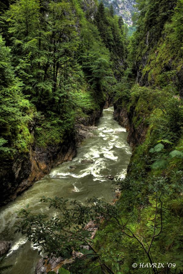
Water literally "cuts" the canyon into the rock. Many canyons result from the melt water of glaciers during the ice age-period. Others were formed by rivers coming from the mountains. This process of forming the rocks is called erosion. The water takes away the softer material in the depth of the gorge and leaves the harder material (such as granite). Cliffs are formed by this process and the river cuts deeper and deeper into the rock. Canyons are much more common in arid areas than in wetter areas because weathering has a greater effect in arid zones.
The Alps are the highest mountains in Europe. Its area is about 200.000 km² and the highest peaks are between 3000 and 4300 m above sea level. The Alps are the result of a tectonical process that started 135 million years ago and ended in the tertiary about 30 million years ago.
The area around Brandenberg is called the "Rofan". The highest point is the "Guffert", which rises about 2195 m above sea level. The main material auf this mountain area is clay, sandstone and argillite. These rock build the main base of the mountains until a height of about 1000 m and are very low in their resistance against the weather and other environment conditions. The higher rock of the "Rofan" consists of limestone which is stronger than the material in the lower regions.
|
How powerful water can be, you can experience at the Kaiserklamm in Brandenberg / Tirol. The 22 km long river "Brandenberg Ache" (a left side river of the rive Inn) coming from the mountains formed the sandstone and argillite rock plateau during the ages and created this impressive canyon.
Until the early 20th century forest workers used this gorge to transport logs down into the valley. That is the reason, why this canyon has accessible tracks and is open for visitors today.
Some more information can be found at www.tirol.at.
|
Kaiserklamm
Click to enlarge
|
Logging conditions:
In order to log this Earth-Cache you have to fulfill the following tasks!
- Get to the given coordinates and enter the gorge! Warning: Read the sign at the entry! Be sure to wear appropriate shoes and do not go there during rainy and wet conditions!!!
- Take a picture of yourself in the gorge (see example-picture) and upload it later on together with your log!
- Estimate the length of the canyon (GPS-reception is very bad in the canyon!)
- Along your way, try to find the "bathtub scouring" shown below in the "impressions" and estimate the width of this structure!
- Send your answers via GC.com-PN!! Do not wait for the answer!
- Enjoy this gorge and have a safe trip back home!
Sandra & Stephan
Havrix
Impressions
Click to enlarge the pictures
|
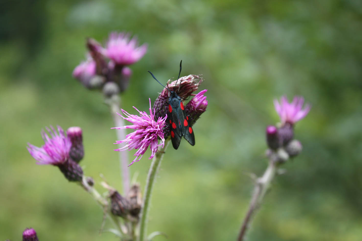
Flora and fauna
|
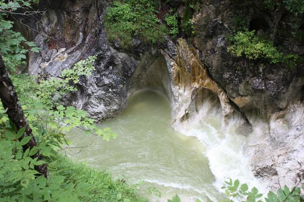
The bathtub
|
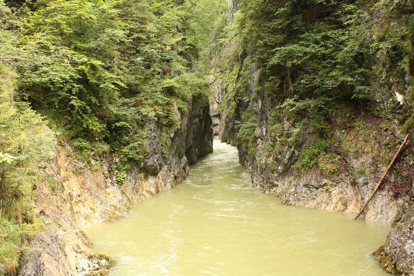
The Ache
|

 Deutsch
"Steter Tropfen höhlt den Stein!"