As usual the above given reference coordinates have nothing to
do with the final but you can park your car there.
This area, also known as Hill 313, was a bloody battle
area during the Second World War. The fighting took place during
the period of 16th through 22nd of December 1944, when the American
troops were fighting against the German division which tried to
capture the main road from Echternach to Luxembourg.
A stone with a memorial plaque is situated near the reference
coordinates. If you follow the path uphill to the forest, you can
still find many remains of the "foxholes" made by the soldiers. The
"Ouschteree" is also somewhere in the same forest,
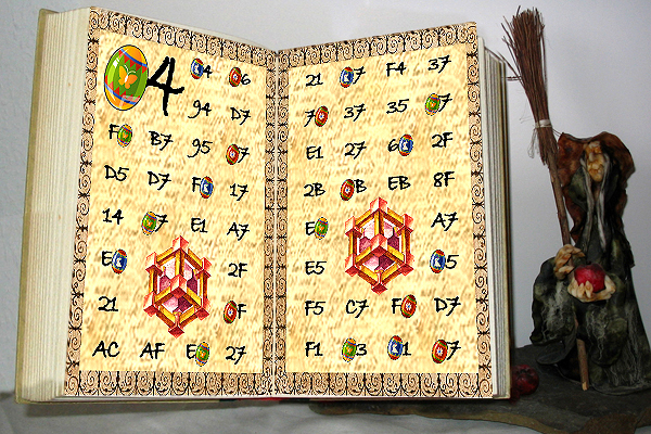
but to get the coordinates, you should first solve the Magic
Book Riddle.