 Toutes les informations officielles concernant cette cache sont
disponible sur
geocaching.com
Toutes les informations officielles concernant cette cache sont
disponible sur
geocaching.com
Informations
spécifiques:
Type de cache:
Multi,
Difficulté/terrain:
2/1,5
Container: Petite
boite "small" dans un petit sac plastique bleu-gris
Coordonnées
géographique:
Le parking: N 47° 44,091 E 01°
35,400
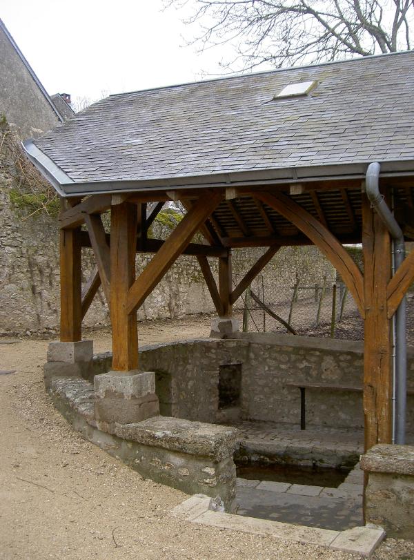
Présentation:
Cette cache fait partie d’une
série qui va vous faire découvrir une zone ou l’eau est le
thème majeur. Plus particulièrement, vous aller voir un certain
nombre de résurgences de la nappe phréatique de Beauce. Cette nappe
dont le niveau est supérieur à celui de la Loire génère nombre de
sources dans le coteau. Cette quatrième cache nous emmène à
Lestiou, un charmant petit village implanté le long du
Lien.
Infos pratiques: Les
coordonnées de base de la cache, correspondent aux coordonnées du
parking. Pensez à noter l’indice pour la cache
bonus!
Votre
mission:
-
Rendez-vous au WP1
N 47° 44.003 E 01° 35.312 et relevez:
-
Rendez-vous au WP2
N 47° 44.100 E 01° 35.459 et relevez:
-
Calculez:
-
E = D + A
-
F = A + A
-
G = C + F
-
Rendez-vous au final:
-
N 47° 44.0EF
-
E 01° 35.4GD
Bonne chasse…
[En]
Presentation:
With this cache you will discover a zone where
the water is a major thema. You will visit some springs from the
groundwater of Beauce. In this area le level of the groundwater is
higher than la Loire, it’s the reason why you will find many
springs. This Fourth cache will take us to small village called
Lestiou a long the river Lien.
The cache coordinates are at the parking
place.
Your
actions:
-
Go to WP1
N 47° 44.003 E 01° 35.312 and notice:
-
Go to WP2
N 47° 44.100 E 01° 35.459 and notice:
-
Calculate:
-
E = D + A
-
F = A + A
-
G = C + F
-
Go to the final:
-
N 47° 44.0EF
-
E 01° 35.4GD
Good luck…