Français
Venez découvrir le chemin des crêtes, l'une des
promenades les plus appréciées des Brivistes.
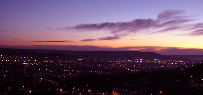
En arrivant au relais de télévision, côté sud, un
paysage très vaste s'étend en un arc de cercle du Périgord tout
proche à l'ouest (vers le plateau de Jaf) au Puy de Pauliac, lequel
culmine à l'est à 520m.
Sur cette ligne de crêtes s'inscrivent
successivement de droite à gauche : la butte de Gramont-Haut en
avant du plateau du Causse Corrézien entaillé par les carrières du
Crochet, bien en face la silhouette du château de Noailles, la
Ramière (502m) et son pylône surplombant Collonges-la-Rouge,
invisible d'ici.
Plus à gauche encore, au-dessus de la rue Marchal,
on distingue la colline de Dampniat puis au-delà, Aubazine sur le
flanc du Puy de Pauliac.
Attention, il ne sera pas possible de placer un
cœur-coccinelle dans la cache ! De plus, elle ne contient pas
de stylo, et pour cause !
Bonne chance !
English
Come discover the "chemin des crêtes", one of the
most appreciated walks of Brive inhabitants.
While arriving at the television relay station, on
the south, a very vast landscape extends in an arc of circle from
very close Périgord to the west (towards the "plateau of Jaf") to
the Puy de Pauliac, which culminates to the east with 520m..
On this landscape, you can successively see from
right to left: the hill of Gramont-Haut in front of the plate of
the Corrézien Causse, then the silhouette of the castle of
Noailles, Ramière (502m) and its pylon overhanging
Collonges-la-Rouge, invisible from here.
Still on the left, above the Marchal street, you
can distinguish the hill from Dampniat then beyond, Aubazine on the
side of Puy de Pauliac.
The cache is small, very very small, and due to its
size, of course doesn't contain any pen.
Good luck !