The
printed MML Passport is no longer available. However, you may
download a copy from the MML website
here.
The
trail consists of 11 MML Districts (regions).
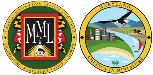
The MML Geocache Trail project will launch January 1, 2009 with 78
participating cities and towns. A trackable geo coin will be given
to the first 500 geocachers as an incentive for locating at least 2
municipal caches in each of the 11 districts. To be eligible for
the coin, geocachers must pick up a Passport at any of the
designated county visitor centers. Geocachers must use the stamp in
the cache on their Passports and write down the cache code word
listed in each cache. After at least two municipal caches in each
district are discovered, geocachers may return to one of the county
visitor centers and have their Passports validated to receive their
collectable coin.
For a complete list of participating visitor centers visit the MML
web site at http://www.mdmunicipal.org/mmlhome/index.cfm or MGS web
site at www.mdgps.org.

In 1787, the Maryland General Assembly made the wise move of
establishing the town of Cumberland through an act passed during
that legislative session. Of course, that act simply provided the
stamp of officialdom to a community that had been in existence, in
one form or another, for thousands of years.
Artifacts pointing to civilizations in existence before the time
of Christ have been found in the area, so we can only assume that
people have been living here forever, a fact that those who now
live at the confluence of Wills Creek and the Potomac River can
understand, given the level of natural beauty.
For generations an American Indian village, then a western
outpost of roughshod cabins, established by European Americans,
existed here. Cumberland, "Gateway to the West," eventually became
a stop for many in the push west. In this role, the city grew into
a transportation hub, first as the starting point of the United
States' first National Road, now known as Route 40, and then as
home to numerous railroads and the western terminus of the famous
C&O Canal.
As the city raced through the 19th century and into the 20th, it
became less dependent on railroads as more industry moved to the
area. Glass manufacturing and brewing were big, as were tires and
steel.

MOUNTAIN THUNDER
The story of Cumberland, as well as the beginnings of the
American Nation, are high-lighted at the following fascinating and
worthwhile activity sites -
C&O Canal National
Historical Park
The Great Allegheny
Passage
The Scenic Western Maryland
Railroad
Gordon
Roberts House
The Geocache you seek is a regular size lock-n-lock container.
Remember to stamp your Passport and write the secret word in the
appropriate place.
Cumberland Thanks You for Visiting

Thanks to KG8GN for helping with this hide!

Thanks to the Maryland Geocaching Society for assisting
with this project!