CESKY
Nachazi se pouhe 3 km jihozapadne od Bruntalu. Diky zdaleka viditelnemu baroknimu kosteliku vytvari dominantu v okolni krajine.
Uhlirsky vrch - vznikl stratovulkanickym prorazenim spodnokarbonskych vrstev v obdobi Pleistocenu navrsenim lavovych proudu cedice a usazovanim nesoudrznych sopecnych vyvrzenin (pyroklastik).
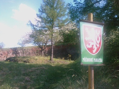
Za odhalenim sopecne minulosti Uhlirskeho vrchu je vsak treba sejit do opusteneho lomu, ktery je chranen jako prirodni pamatka.
V lomu se odkryva asi 40 m vysoky prurez cervenym sopecnym tufem. Jsou to drobne utrzky lavy, ktere sopka vyvrhovala jeste ve zhavotekutem nebo plastickem stavu. Svedci o tom napriklad kapkovity tvar nekterych vetsich kamenu nebo zatocena vnitrni struktura, vytvorena rotaci pri pruletu atmosferou.
*** waypointy k ukolum***
Foto Tufovy lom UV - N 49° 58.303 E 17° 26.303
Foto Tufova stena UV - 49°58.321 017°26.369
Nadmorska vyska nad Tuftovou stenou - N 49° 58.360 E 17° 26.411
***ukoly k vyreseni***
1) Vase(nebo GPS) foto s tufovym lomem (foto do logu)
2) Vase(nebo GPS) foto s tufovou stenou (foto do logu)
2) zmerit nadmorskou vysku na uvodnich souradnicich
3) zaslat na e-mail zmerenou nadmorskou vysku a jak vznika stratovulkan
Necekejte na potvrzení, v prípade chybejících informací Vás budu kontaktovat (nebo smažu Váš log :))

ENGLISH:
Charcoal-burner's hill locates only 3km southwesterly from Bruntal. Due to from fare visible baroque church creates dominating factor at neighbouring landscapes.
Charcoal-burner's hill - originate from stratovolcanical perforation Carboniferous-mississipian bed in phase Pleistocene superimposition lava's flow of Basalt and sedimentation of consolidated volcanic ash and dust ejected during volcanic eruption (pyroclastic).
If you want disclose volcanical history of Charcoal-burner's hill, you must go to down to abandoned quarry, which is protected as natural monument. In this quarry you can see 40m high cross-section wall of red volcanical Tuff. Tuff is a type of rock consisting of consolidated volcanic ash ejected from vents during a volcanic eruption. Some volcanical stones which ejected from vents during eruption have drop shape or spiral internal structure, established of rotation at atmosphere transit.
***mission waypoint coordinates***
Tuff quarry - N 49° 58.303 E 17° 26.303
Tuff wall - 49°58.321 017°26.369
AMSL of Tuff wall - N 49° 58.360 E 17° 26.411
***mission questions***
1) Photo yourselves (or GPS) with Tuff quarry (photo apply to log).
2) Photo yourselves (or GPS) with Tuff wall (photo apply to log).
2) Measure ASML altitude (possibly with the aid of his GPS) height of Tuff wall.
3) Send me e-mail with measured altitude and explain how originate stratovolcan.
You don't wait for confirmation because in the absence of some information I'll contacting you (or I'll delete your log:))