Camino Real Mystery Cache
-
Difficulty:
-

-
Terrain:
-

Size:  (regular)
Please note Use of geocaching.com services is subject to the terms and conditions
in our disclaimer.
20 minute one way walk more or less
Nearly no height difference
stony path
Attention Muggles
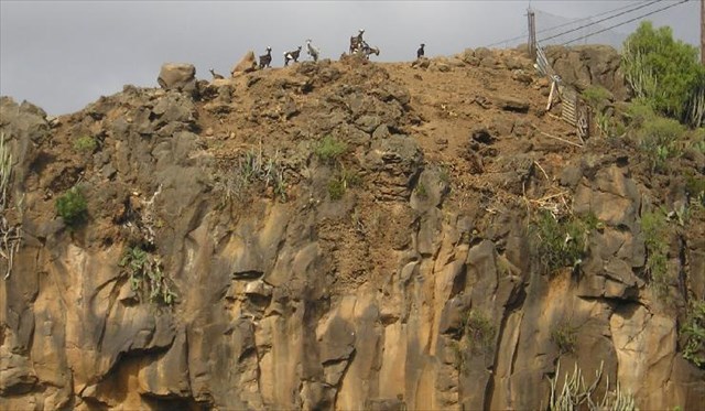
To find this cache, you will walk along a small part of a very old 'Camino Real'. Formerly these pathes, called 'Camino Real', served as a connection between villages long before any asphaltic roads with their bridges existed on the island. The part, which you will be walking along, formerly connected Granadilla and Charco del Pino with San Miguel. Your short walk will end inside the 'Barranco de la Orchilla', where you can see that people formerly found a way even through very deep canyons without building big constructions. Today most of these pathes are rarely used mostly by the hunters during rabbit hunting season in autumn.
Your parking position is given by the above coordinates. The coordinates of the coordinates to the final you find here: 28°06.357 N 016°36.195 W
Spanish translation:
Para encontrar este cache caminarás a lo largo de un 'Camino Real' muy viejo. Anteriormente estos caminos unian los pueblos antes de que existian las carreteras asfaltadas con sus puentes en la isla. Esta parte, que vas a caminar, anteriormente unia Granadilla y Charco del Pino con San Miguel. Tu pequeña excursión se terminará dentro del 'Barranco de la Orchilla', donde puedas mirar como la gente anteriormente encontraron caminos por barrancos muy hondos sin construyendo construcciones muy grandes. Hoy en día estos caminos se usa poco solamente por los cazadores durante la caza de conejos en otoño.
Las coordenadas de arriba son tu aparcamiento. Las coordenadas de las coordenadas a la final encuentras aquí: 28°06.357 N 016°36.195 W
German translation:
Um diesen Cache zu heben, wirst Du ein Stück entlang eines sehr alten 'Camino Real' wandern. Früher dienten diese Wege dazu, die einzelnen Ortschaften zu verbinden, lange bevor es asphaltierte Straßen mit ihren Brücken auf der Insel gab. Der Teil, den Du entlang wandern wirst, verband früher Granadilla und Charco del Pino mit San Miguel. Die kurze Wanderung wird in der 'Barranco de la Orchilla' enden, wo Du erkennen kannst, daß die Menschen früherer Zeit Wege auch durch tiefe Schluchten fanden, ohne große Konstruktionen zu bauen. Heutzutage werden die meisten dieser Wege hauptsächlich von den Jägern während der Karnickel Jagdsaison im Herbst benutzt.
Die obigen Koordinaten geben Deine Parkposition an. Die Koordinaten der Koordinaten zum Final findest Du hier: 28°06.357 N 016°36.195 W
Additional Hints
(Decrypt)
Svany: Ovt rtt, uhrib tenaqr, tebßrf Rv