The Enchanted Rock EarthCache
-
Difficulty:
-

-
Terrain:
-

Size:  (not chosen)
Please note Use of geocaching.com services is subject to the terms and conditions
in our disclaimer.
Come visit the part of the Texas Hill Country and find an
EarthCache.
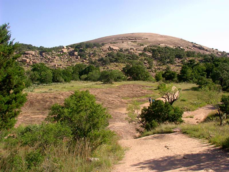
Enchanted Rock
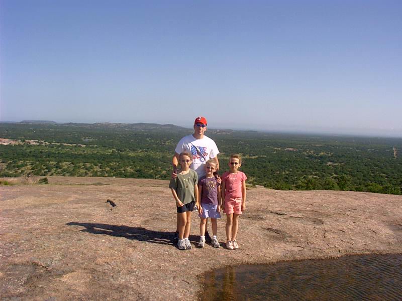
The BiT Family at the top.
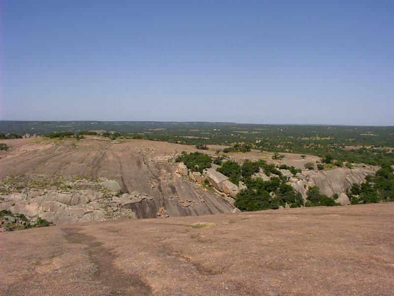
One of the spectacular views from the top.
Enchanted Rock is part of the
Enchanted Rock State Natural Area that covers approximately
1,643 acres along Big Sandy Creek. Enchanted Rock is an enormous
batholith. Batholiths are large bodies of igneous intrusive rock
that forms from cooled magma deep in the Earth's crust. Batholiths
are almost always made mostly of felsic or intermediate rock-types,
such as granite, quartz monzonite, or diorite. Enchanted Rock is
formed from pink granite that formed about 1,082+/-6 million years
ago. The granite is a very hard natural igneous rock formation of
visibly crystalline texture formed essentially of quartz and
orthoclase or microcline.
Technically speaking, Enchanted Rock an exfoliation dome. An
exfoliation dome is a dome-shaped hill typically with a bare rock
surface, typically developed in massive coarse-grained rocks (like
granites) by the process of exfoliation. Enchanted Rock is said to
be the second-largest exfoliation dome in the United States, while
the largest is in Georgia with a large carving of Confederate
Soldiers.
Archaeological evidence date the earliest human visitation in the
area to that of the Paleo-Indian time period (circa 11,000 year
ago). Historic Native Americans claim that rock has magical and
spiritual powers, hence the name Enchanted Rock. The Tonkawa, who
inhabited the area in the 16th century, believed that ghost fires
flickered at the top of the dome. In particular they heard
unexplained creaking and groaning, which geologists attribute to
the rock's night-time contraction after being heated by the sun
during the day, this is part of the exfoliation and weathering
processes.
To claim a find, please email me the answers to these questions
below as well as upload a picture of yourself displaying your GPSr
at the trailhead and at the top (Please do not post a find log
without a picture).
Question 1: What is the amount of net elevation you hiked to
arrive at the summit of Enchanted Rock? You have a nice piece of
equipment in your hand that will assist you in this task. Mark a
waypoint with your elevation at the lowest point (e. g., crossing
Sandy Creek) and then mark another waypoint at the summit. Subtract
your elevation to arrive at your answer.
Question 2: What name of the largest exfoliation dome, you know
the one with the large carving of Confederate Soldiers east of
Atlanta.
Question 3: What is the name of the peak to the east-south east of
Enchanted Rock? You know the one named after a bird.
As of the date of approval there is $6 per
day, per person 13 and older, staying or day use fee for the
Enchanted Rock State Natural Area.

Click To Rate This Cache
Effective 05.16.07, all find logs MUST have accompanying
pictures or they will be deleted.
This is a result of “armchair/desktop” EarthCaching
attempts.
Additional Hints
(No hints available.)