Dry Hill Fort Traditional Geocache
-
Difficulty:
-

-
Terrain:
-

Size:  (small)
Please note Use of geocaching.com services is subject to the terms and conditions
in our disclaimer.
Approx 25 mins walk from B2028 along Vanguard Way - cache is 4" dia
plastic container. Whilst not steep some sections of the narrow
path are strewn with stones - take care.
The 68 mile long Vanguard Way is one of the least known long
distance footpaths in S.E. England and yet it passes through areas
rich in history and beautiful landscapes. The Vanguard Way is a
"project" that has access to Heritage Lottery Funding of £51,580 -
there's been a lot of hedge planting - ironically when the hedge
matures it will obscure some nice views. The route runs from
Croydon to Seahaven. 
The fort origins are Iron Age but occupied by the invading
Romans who quickly took control of iron making in the Weald. The
Dry Hill fort was a major defensive position for the Weald. The
fort has a strategic view eastwards to the Roman road linking
London with Lewes. The fort area is about 30 acres with a perimeter
of 0.8 mile at a height of 550 feet. There is a trig point
(UKTP2057) fairly near the centre of the fort area.
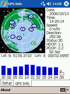 Nice picture thanks NavMan&Dog
Additional Hints
(Decrypt)
7 cnprf sebz oynpx tngr ng sbbg bs n Inathneq Jnl fvtacbfg