Hochobir - 2142 m Multi-cache
-
Difficulty:
-

-
Terrain:
-

Size:  (regular)
Please note Use of geocaching.com services is subject to the terms and conditions
in our disclaimer.
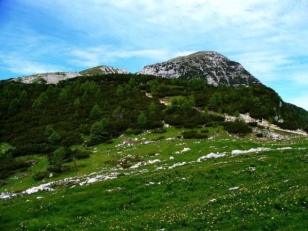
This cache will lead you to the summit of the Hochobir, with 2142 m one of the
highest mountains in the 'Karawanken'. From the summit you have a nice view
over the 'Drautal', Klagenfurt and the Lake Woerthersee.
You may also see the Dobratsch and the Triglav, King of the Julian Alps.
Distance from hut to summit: about 4.5 km / 2.8 miles
Duration up/down: 90 min/60 min
Height difference: 587 m / 1925 ft
The tour is also suitable for beginners although I strongly suggest
to wear hikingboots.
The coordinates in the header are those of the 'Eisenkapplerhuette'.
A tarmac-road is leading from 'Bad Eisenkappel' over a small toll-station
up to 1555 m above sealevel.
Proceed to following coords (summit) to a plate with some dates on it:
N1: 46 30.369
E1: 14 29.235
A = Year(death)-Year(birth) of the man whose name is on this plate.
N2 = N1 - A + 3
E2 = E1 + 3
There is no special clue in it. I kept the calculation simple because
the maintask is not to look for the cache or solve hard riddles
but to enjoy the hike and the view.
I would suggest to visit the Waterfall of Wildenstein afterwards!
With 54 m / 177 ft this fall is said to be the highest freefalling waterfall in Europe!
The cache initially contains:
- Pen, Note and Logbook (please don't remove)
- Wooden Horse
- Clip Watch
- Address-Tag for suitcases
- Other stuff
- TB Epona's Child
Additional Hints
(No hints available.)