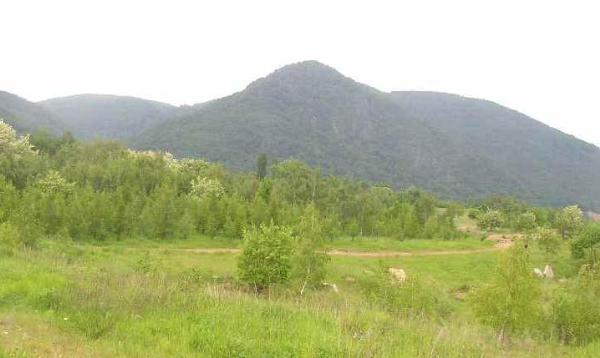
Vrch Jezeri (706 m) od jihu - cache je nekde tam nahore. :-) Foto: Toniczech, cerven 2004
cesky:
Ze severoceske panve pokryte hnedouhelnymi doly se prudce zvedaji zelene svahy Krusnych hor. Dnes se vydame prave sem, na rozhrani techto dvou svetu. Nas cil se nachazi ve vysce okolo 680 m na kopci Jezeri pobliz pusobive skalni vyhlidky.
Kdyz stojite na jiznim upati kopce, zbyva vam k pokladu jen neco pres pul kilometru. Z toho ale 350 metru ve svislem smeru :-). Je tedy patrno, ze cesta svahem primo vzhuru, ac fyzicky mozna, by nebyla tim nejvhodnejsim resenim. Uz jenom proto, ze oblast je narodni prirodni rezervaci, takovy postup rozhodne nedoporucuji. K cili se pohodlne dostanete po modre znacene ceste od zamku Jezeri (3 km/300 m prevyseni).
Aktuální prosba pro jaro 2022: Kdo se do této oblasti Krušných hor na staré cache chystáte, obstarejte a doneste prosím čerstvou krabičku a logbook osiřelé rovněž už tuze památeční tradičce GCPWWZ Hrdy Budzes, velmi nutně už, chuděrka od adoptivního ownera léta opuštěná, generální údržbu potřebuje.

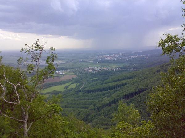
Vyhled jihozapadnim smerem, pres Vysokou Pec k Jirkovu. Foto: marzcz, kveten 2007
English:
Green slopes of Ore Mountains tower above the brown-coal basin around towns of Chomutov and Most. We will visit the boundary of these two worlds. Our destination is located close to an impressive rocky outlook on top of Jezeri hill, approx. 680 m a.s.l.
The distance to cache from the southern foot of the hill is slightly more than half of kilometre. Of which 350 m in vertical diection :-). The bee-line uphill isn't evidently the best choice, how to reach the cache. At least because the whole area is a national natural reserve. I suggest you a quite comfortable blue-marked road/path from the Jezeri castle (3 km/300 m elevation).
