Interesting museum and shops in this area. On the way to the lowest elevation in U.S.. Tell me what is big and faded red at this location. Email the answer to me. Don't post it here. Watch the heat! Scooterman
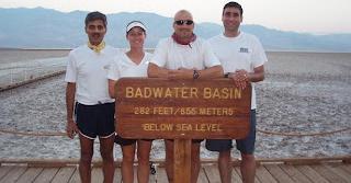
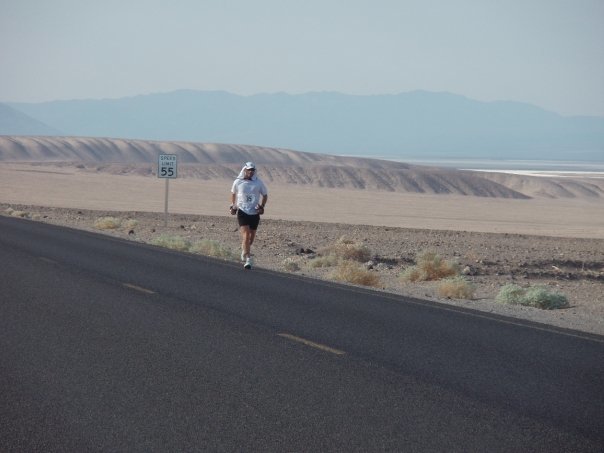
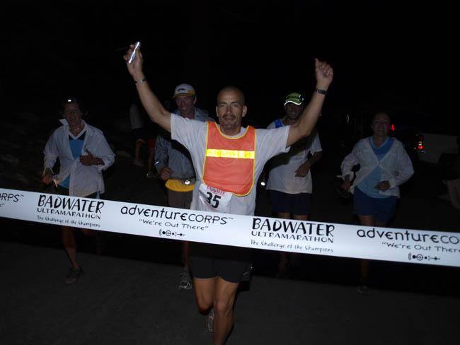
Now from caccbag: I was fortunate enough to adopt this awesome cache. It means a LOT to me as I have read a lot about Death Valley, early explorers, settlers traveling through, and the ecosystem of the area (I am a science geek with a biology undergrad). In addition to that, I run races...quite a few. In 2008 I ran the Badwater 135 mile ultramarathon. It started at Badwater the lowest point in the northern hemisphere and ended at the Mt. Whitney Portals - at the highest peak in the Continental US. The day before the race, I stayed here in Furnace Creek. So this cache, in addition to being an historic virtual, is very special to me. I hope you enjoy it.