Skip to content

Peldvieta pie Rūjas Traditional Geocache

This cache has been archived.

Leptoceratops: Hello!
I'm archiving your cache as it has been disabled for more than a one month and it is lost, completely damaged or inappropriate. Caches should be visited and maintained within 30 days after disabling.
Archiving a geocache is meant to be a permanent action. If a cache is archived by a reviewer or staff for lack of maintenance, it will not be unarchived.

If there are still leftovers from container I would appreciate if other players could collect them so that there is no trash in the nature.

Happy geocaching!

More
Hidden : 1/19/2021
Difficulty:
1.5 out of 5
Terrain:
1.5 out of 5

Size: Size:   small (small)

Join now to view geocache location details. It's free!

Watch

How Geocaching Works

Please note Use of geocaching.com services is subject to the terms and conditions in our disclaimer.

Geocache Description:


Rūja ir upe Ziemeļvidzemē. Iztek Sakalas augstienē no Ruhijerva ezera. Latvijā šķērso Ērģemes pauguraini un tek pa Burtnieka līdzenumu. Lielākās apdzīvotās vietas krastos: Lode, Naukšēni, Rūjiena. 
Upes nosaukums cēlies no igauņu valodas vārda ar nozīmi "sile", "vienkoču laiva". Ziemā, slēpnis var būt apsnidzis.
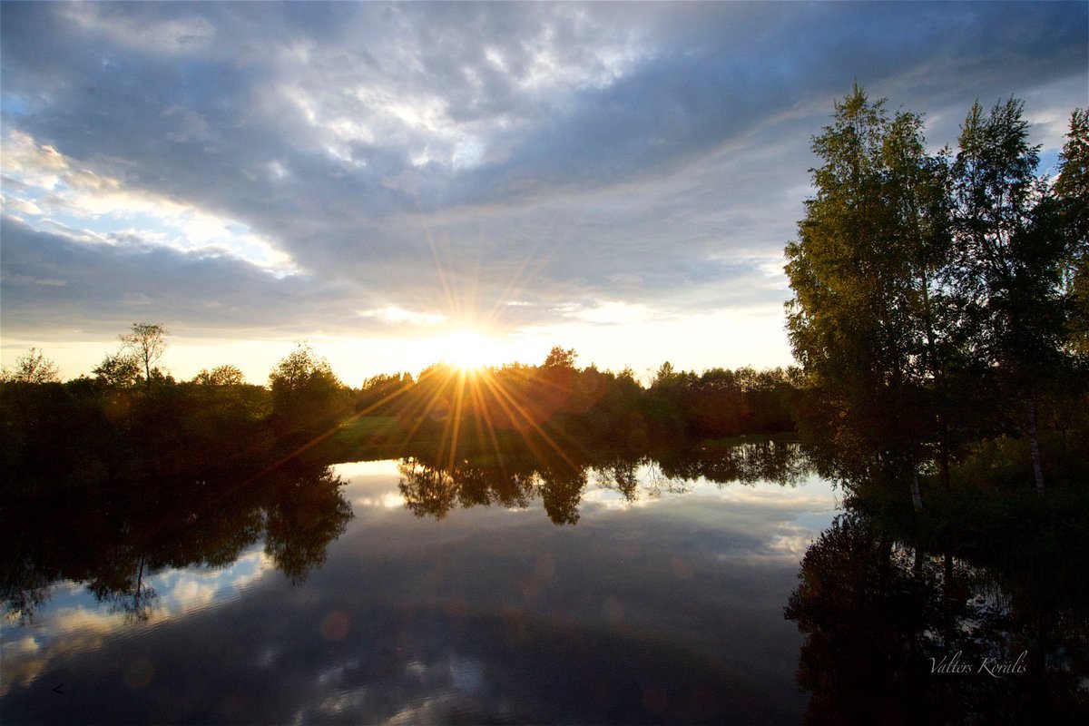
Rūja is a river in North Vidzeme. It flows into the Sakala highland from Lake Ruhijerva. In Latvia, crosses the Ērģemes hills and flows along the Burtnieks plain. The largest settlements on the shores: Lode, Naukšēni, Rūjiena.
The name of the river comes from the Estonian word meaning "trough", "single-hull boat".

Additional Hints (Decrypt)

Oyhxv

Decryption Key

A|B|C|D|E|F|G|H|I|J|K|L|M
-------------------------
N|O|P|Q|R|S|T|U|V|W|X|Y|Z

(letter above equals below, and vice versa)