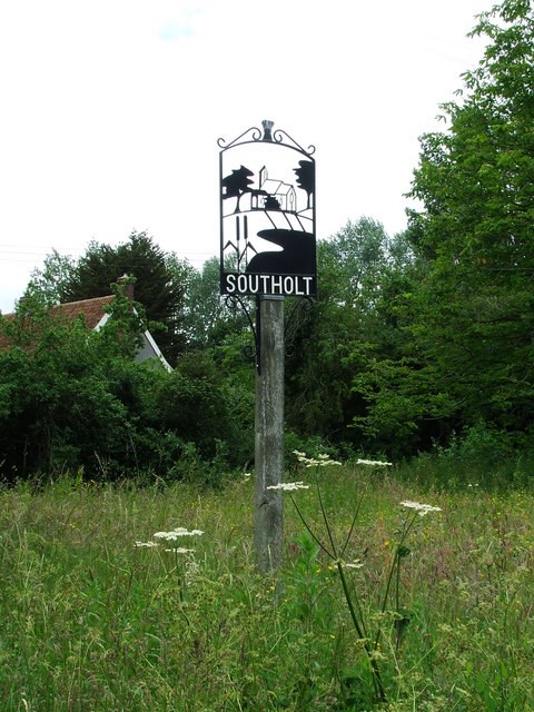
Village Signs is a series of caches based on the ornate signs that depict the heritage, history and culture of the villages that put them up.
Southolt is a village in Suffolk, 5 miles south-east of Eye on the road between villages Bedingfield and Worlingworth. The parish has seen a massive decline in population during the 20th century. Today under 70 residents remain. At the 2011 Census the population remained less than 100 and was included in the civil parish of Bedingfield.
The church, dedicated to St Margaret, is an ancient structure, and contains a brass of the date 1585. The church is now owned by the village on a peppercorn rent and is used for village services at least three times a year.
Southolt appears on John Speed's 1610 map as "Southold".
The Plough pub opened 17th century add closed circa 1990.
The Nest is on the road to Park Farm with a war memorial on the other side of the road. Willow Farm to the south with Sycamore Farm further to the east and Green Farm (with a big green) a little further.
 If anybody would like to expand the series please contact Smokeypugs here