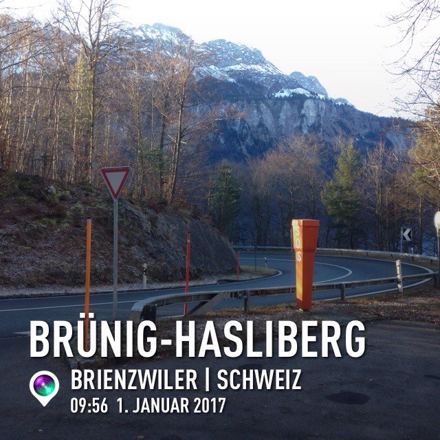
Der Brüngpass liegt auf dem Weg in die alte Heimat. Leider gibt es auf dieser Strecke kaum Boxen, die man en passent mitnehmen kann. Mit diesem Tradi soll dieser Not Abhilfe geschafft werden.
Neben dem Cache hat es einen Parkplatz. Vorsicht beim Abbiegen, wenn man bergaufwärts unterwegs ist.

The Brünig Pass connects the Bernese Oberland and central Switzerland, linking Meiringen in the canton of Bern and Lungern in the canton of Obwalden. It is on the watershed between the upper reaches of the Aare, which flows through Lake Brienz and Lake Thun, and the Sarner Aa, which flows into Lake Lucerne.
This alpine pass is on the way to my old home. Unfortunately there are only a few caches you could get by a drive-in. Rescue arrived now with this traditional cache.
Next to the cache you'll find a parking. Take care when crossing the road heading to the pass.