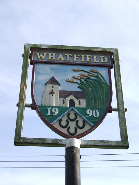
Village Signs is a series of caches based on the ornate signs that depict the heritage, history and culture of the villages that put them up
A tiny black one
Whatfield is a located around two miles north of Hadleigh and is part of Babergh district. The Calves Wood, a County Wldlife Site (CWS) in the north of the parish is classed as Ancient Woodland, whilst the parish's south-western border is delineated by the River Brett. The Parish Council holds two meadows and a piece of rough woodland in trust for the villagers. The woodland is on the left-hand side of a pleasant walk down to the river Brett.
 If anybody would like to expand the series please contact Smokeypugs here