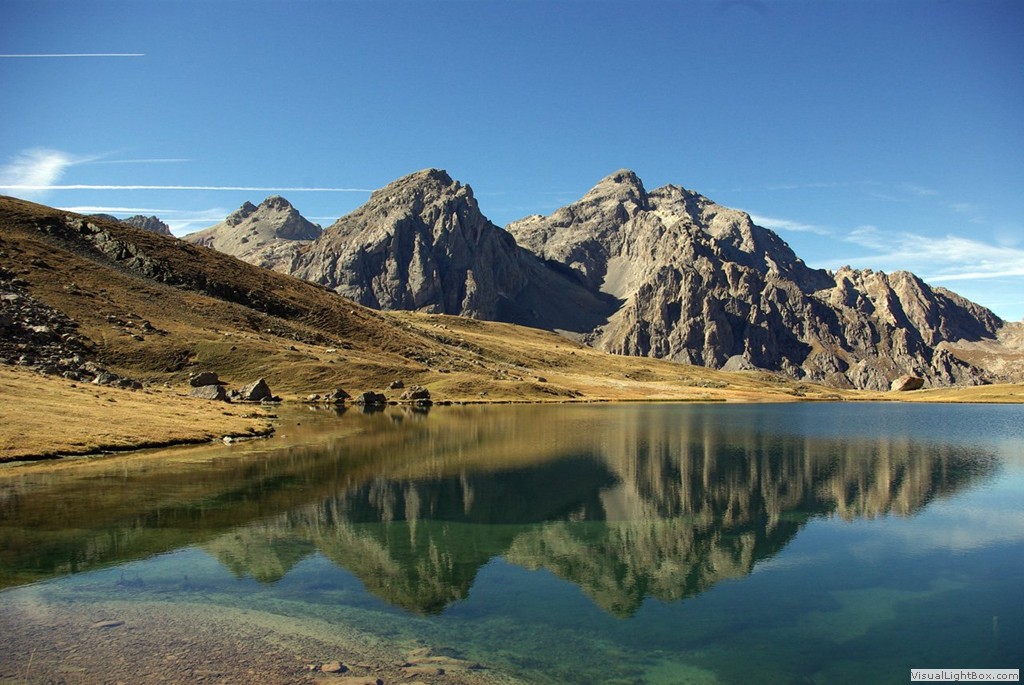
Je vous propose de nous rencontrer en montagne pour échanger sur notre activité dans un cadre magnifique. A la jonction de deux régions, le Massif des Cerces sera notre lieu de rencontre pour cette année.
For this new edition of "La Montagne, ça vous Gagne" Event, i plan to take you to a beautifull landscape in the middle of the Massif des Cerces. The event will take place at the border of Savoie and Hautes Alpes.
Deux chemins d'acces sont proposés en fonction d'ou vous arrivez, la longeur et la difficulté de la balade est différente en fonction de l'endroit de départ.
Two trails can be used to reach the meeting point, the length and terrain difficulty can vary a little depending from where you start the journey.
source image : http://parcourirlemonde.com
Prévoir environ Pour l'ALLER :
5km et 550m de Dénivelé depuis Plan Lachat coté Savoie.
6km et 430m de Dénivelé depuis Les Chalets de Laval coté Hautes Alpes.
To GO there :
5km and 550m height difference from Plan Lachat.
6km and 430m height diffrerence from Les Chalets de Laval
Pour les plus motivés on peut envisager de poursuivre jusqu'au Lac des Cerces (ajouter 2,5km et 156m de D+).
For tougher hikers we can plan to continue till the Lac des Cerces (add 2,5km and 156m +)
Sur place, j'envisage un repas sorti du sac à midi et eventuellement une nuit en bivouac à déterminer en fonction des participants (et de la météo).
The event will take place at midday and people are welcome to bring some special food from where they came from to share together. We may be able to set a camp for the night if people are up for it (and if the weather is on our side).

Le GPX de l'event est téléchargeable ici : http://dl.free.fr/iXb1LvFkv
Le Roadbook de l'event est téléchargeable ici : http://dl.free.fr/gNxWIkrDZ