The cache is NOT at the posted co ordinates.
Stage 1: Use your OL28 1:25000 map
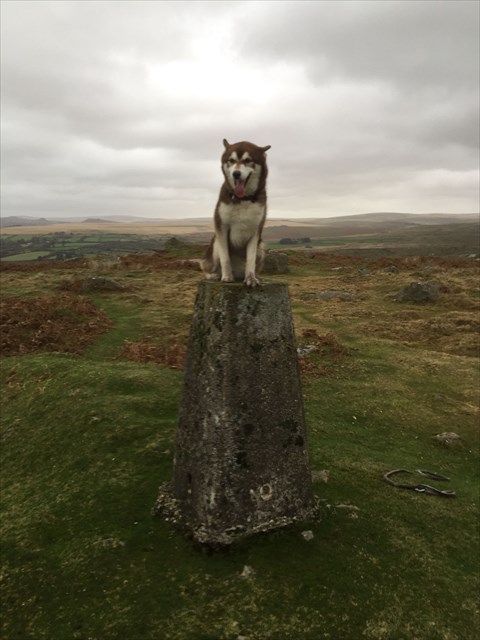
At the Shaugh Moor triangulation point, you follow the bridle path through the china clay works and head for the nearest tor. At the tor, you continue uphill to the highest point, gaining approximately 150m in altitude. From this point, you continue due east for 2.5km where you encounter a small brook. You follow the brook downstream until you see the remains of a tinner's hut. Which OS grid square are you now in? Grid = ABCD
Stage 2: Visit the trig point and obtain the four digit number from the base plate. Trig No = EFGH
The cache can be found at:
N 50 (A-H) (E-G+F) . (A+D-G) (H-D) G
W 004 (F-H) (G+G) . (F-B) F (H+F)
