The cache is NOT at the posted co ordinates.
Stage 1: Use your OL28 1:25000 map
At the Ringmoor Down triangulation point, head toward the fence and cross at the style, passing the tor and head downhill where you follow the track toward a parking spot. From the parking, you cross a small bridge next to a ford and pick up a track leading uphill. You continue on this track, passing the high point and gradually lose altitude before another gentle climb uphill. You spot a tarmac road and follow it toward a building. The road ends and you're back on a track. Within 500m, you encounter a boggy river crossing where you decide to walk to the highest point approximately 1.5km away. Which OS grid square are you now in? Grid = ABCD
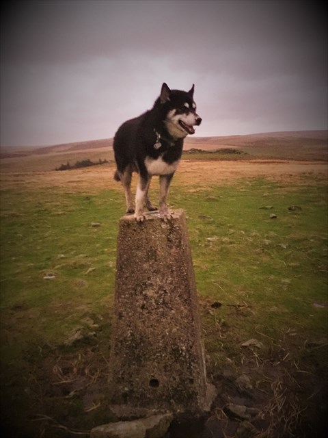
Stage 2: Visit the trig point and obtain the four digit number from the base plate. Trig No = EFGH
The cache can be found at:
N 50 (E-B) (D+C) . G (D+E) (A+E)
W 004 G (F-E-B) . (A-B) (D*E) D
